Balong geodata
Balong (East Java) is a seat of a fourth-order administrative division; located in Indonesia in Asia/Jakarta (GMT+7) time zone. In our database, there are 407 cities with bigger population. Compared to other cities in Indonesia, 71.9% of cities are located further ↓South; 55.2% of cities are located further →East and 58.2% of cities have higher elevation than Balong. Note1


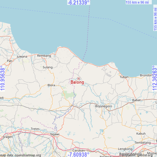
Balong GPS coordinates[2]
6° 54' 42.84" South, 111° 39' 34.2" East
| Map corner | latitude | longitude |
|---|---|---|
| Upper-left | -6.21339°, | 110.95638° |
| Center: | -6.9119°, | 111.6595° |
| Lower-right: | -7.60938°, | 112.36263° |
| Map W x H: | 155.2×155.2 km | = 96.4×96.4mi |
| max Lat: | 5.88969° ⇑28.1% North |
| Balong: | -6.9119° |
| min Lat: | ⇓71.9% South -10.934° |
| min Long | Balong | max Long |
| 95.1345° | 111.6595° | 140.9419° |
| W 44.8%⇐ | ⇒55.2% E |
Elevation
Elevation of Balong is 67 m = 220 ft, and this is 162.7 m = 534 ft below average elevation for this country.
| Max E: |
3185 m = 10449 ft | 58.2% |
| Avg. | 229.7 m = 754 ft | |
| Balong | 67 m = 220 ft | |
Min E: |
-1 m = -3 ft | 41.8% |
See also: Indonesia elevation on elevation.city.
Geographical zone
Balong is located in South Torrid zone (between Equator and Tropic of Capricorn). Distance of Equator is 768.5 km =477.5 mi to North.| Distance of | km | miles | from Balong |
|---|---|---|---|
| Equator | 768.5 | 477.5 | to North |
| Tropic Capricorn | 1837.4 | 1141.7 | to South |
| Antarctic Circle | 6632.6 | 4121.3 | to South |
| South Pole | 9238.5 | 5740.5 | to South |


Nearby cities:
15 places around Balong: (largest is in red/bold)
• Bader
5 km =3.1 mi,  354°
354°
• Jatirogo
2.9 km =1.8 mi,  359°
359°
• Jetis
3.7 km =2.3 mi,  269°
269°
• Jombok
3.6 km =2.2 mi,  335°
335°
• Karanggeneng
3.3 km =2.1 mi,  154°
154°
• Karangtengah
4.7 km =2.9 mi,  320°
320°
• Krajan Demit
3.9 km =2.4 mi,  58°
58°
• Muruni
1.8 km =1.1 mi,  92°
92°
• Ngancar
1.4 km =0.9 mi,  138°
138°
• Ngijo
3 km =1.9 mi,  105°
105°
• Paseyan
4.5 km =2.8 mi,  333°
333°
• Purwosari
2.6 km =1.6 mi,  5°
5°
• Sadang
4 km =2.5 mi,  4°
4°
• Tanggung
4.6 km =2.9 mi,  126°
126°
• Wotsogo
2.5 km =1.6 mi, 345°
Sources, notices
• [Note1] Compared only with cities in Indonesia existing in our database
• [Src1] Map data: © OpenStreetMap contributors (CC-BY-SA)
• [Src2] Other city data from geonames.org with taken over terms of usage.
• [Src3] Geographical zone / Annual Mean Temperature by Robert A. Rohde @ Wikipedia
