Watuagung geodata
Watuagung (East Java) is a seat of a fourth-order administrative division; located in Indonesia in Asia/Jakarta (GMT+7) time zone. In our database, there are 407 cities with bigger population. Compared to other cities in Indonesia, 71.3% of cities are located further ↑North; 54.1% of cities are located further →East and 64.6% of cities have lower elevation than Watuagung. Note1


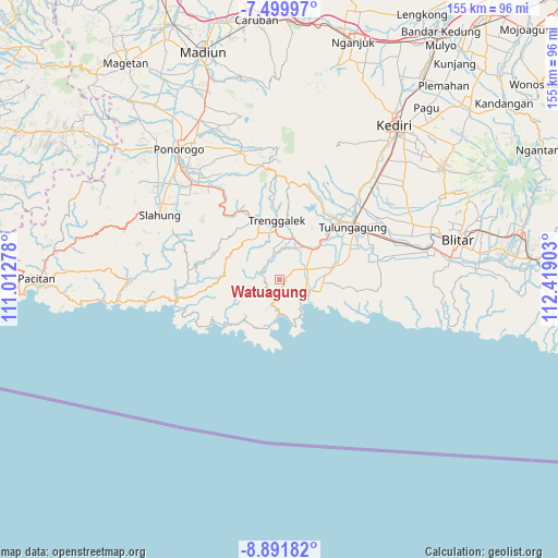
Watuagung GPS coordinates[2]
8° 11' 47.4" South, 111° 42' 57.24" East
| Map corner | latitude | longitude |
|---|---|---|
| Upper-left | -7.49997°, | 111.01278° |
| Center: | -8.1965°, | 111.7159° |
| Lower-right: | -8.89182°, | 112.41903° |
| Map W x H: | 154.8×154.8 km | = 96.2×96.2mi |
| max Lat: | 5.88969° ⇑71.3% North |
| Watuagung: | -8.1965° |
| min Lat: | ⇓28.7% South -10.934° |
| min Long | Watuagung | max Long |
| 95.1345° | 111.7159° | 140.9419° |
| W 45.9%⇐ | ⇒54.1% E |
Elevation
Elevation of Watuagung is 217 m = 712 ft, and this is 12.7 m = 42 ft below average elevation for this country.
| Max E: |
3185 m = 10449 ft | 35.4% |
| Avg. | 229.7 m = 754 ft | |
| Watuagung | 217 m = 712 ft | |
Min E: |
-1 m = -3 ft | 64.6% |
See also: Indonesia elevation on elevation.city.
Geographical zone
Watuagung is located in South Torrid zone (between Equator and Tropic of Capricorn). Distance of Equator is 911.4 km =566.3 mi to North.| Distance of | km | miles | from Watuagung |
|---|---|---|---|
| Equator | 911.4 | 566.3 | to North |
| Tropic Capricorn | 1694.6 | 1053 | to South |
| Antarctic Circle | 6489.8 | 4032.6 | to South |
| South Pole | 9095.7 | 5651.8 | to South |


Nearby cities:
15 places around Watuagung: (largest is in red/bold)
• Bantengan
5.2 km =3.2 mi,  55°
55°
• Gelatik
3.8 km =2.4 mi,  246°
246°
• Gemaharjo
4.9 km =3 mi,  194°
194°
• Jajarkrajan
4.9 km =3 mi,  345°
345°
• Kademangan
5.6 km =3.5 mi,  289°
289°
• Kradinan
4 km =2.5 mi,  69°
69°
• Krajantalun Kulon
3.9 km =2.4 mi, 58°
• Ngembel
2 km =1.2 mi, 288°
• Nglampir
2.1 km =1.3 mi, 72°
• Pojok
5.4 km =3.4 mi,  317°
317°
• Ponggok
5.6 km =3.5 mi,  215°
215°
• Sebo
5.4 km =3.4 mi, 194°
• Sedayugunung
3.6 km =2.2 mi,  106°
106°
• Senden
4.7 km =2.9 mi,  284°
284°
• Watulimo
2.7 km =1.7 mi,  180°
180°
Sources, notices
• [Note1] Compared only with cities in Indonesia existing in our database
• [Src1] Map data: © OpenStreetMap contributors (CC-BY-SA)
• [Src2] Other city data from geonames.org with taken over terms of usage.
• [Src3] Geographical zone / Annual Mean Temperature by Robert A. Rohde @ Wikipedia
