Bangrat geodata
Bangrat (East Java) is a seat of a fourth-order administrative division; located in Indonesia in Asia/Jakarta (GMT+7) time zone. In our database, there are 407 cities with bigger population. Compared to other cities in Indonesia, 63.2% of cities are located further ↓South; 63.9% of cities are located further ←West and 53.4% of cities have lower elevation than Bangrat. Note1


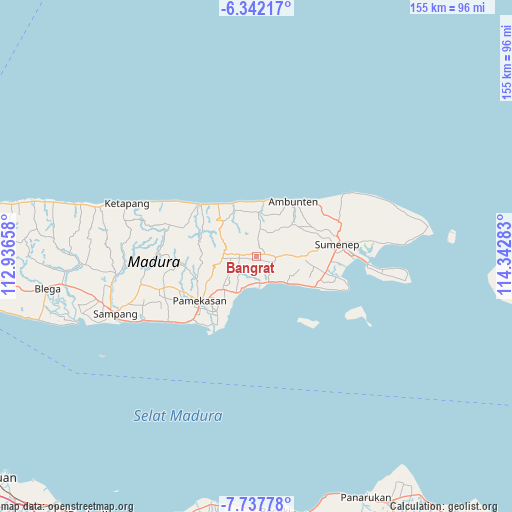
Bangrat GPS coordinates[2]
7° 2' 25.8" South, 113° 38' 22.92" East
| Map corner | latitude | longitude |
|---|---|---|
| Upper-left | -6.34217°, | 112.93658° |
| Center: | -7.0405°, | 113.6397° |
| Lower-right: | -7.73778°, | 114.34283° |
| Map W x H: | 155.2×155.2 km | = 96.4×96.4mi |
| max Lat: | 5.88969° ⇑36.8% North |
| Bangrat: | -7.0405° |
| min Lat: | ⇓63.2% South -10.934° |
| min Long | Bangrat | max Long |
| 95.1345° | 113.6397° | 140.9419° |
| W 63.9%⇐ | ⇒36.1% E |
Elevation
Elevation of Bangrat is 116 m = 381 ft, and this is 113.7 m = 373 ft below average elevation for this country.
| Max E: |
3185 m = 10449 ft | 46.6% |
| Avg. | 229.7 m = 754 ft | |
| Bangrat | 116 m = 381 ft | |
Min E: |
-1 m = -3 ft | 53.4% |
See also: Indonesia elevation on elevation.city.
Geographical zone
Bangrat is located in South Torrid zone (between Equator and Tropic of Capricorn). Distance of Equator is 782.8 km =486.4 mi to North.| Distance of | km | miles | from Bangrat |
|---|---|---|---|
| Equator | 782.8 | 486.4 | to North |
| Tropic Capricorn | 1823.1 | 1132.8 | to South |
| Antarctic Circle | 6618.3 | 4112.4 | to South |
| South Pole | 9224.2 | 5731.7 | to South |


Nearby cities:
15 places around Bangrat: (largest is in red/bold)
• Banlapa
2.4 km =1.5 mi,  69°
69°
• Ba’rigi
4.1 km =2.5 mi,  270°
270°
• Birsa
2.7 km =1.7 mi,  257°
257°
• Ganding
5.4 km =3.4 mi,  87°
87°
• Grujugan
3 km =1.9 mi,  296°
296°
• Gulukguluk
4.2 km =2.6 mi,  111°
111°
• Konkokon
5 km =3.1 mi,  84°
84°
• Masaran
1.8 km =1.1 mi,  233°
233°
• Masjid
5.1 km =3.2 mi, 90°
• Nangger
1.1 km =0.7 mi,  319°
319°
• Parengan Laok
5.4 km =3.4 mi,  278°
278°
• Pordapor Barat
1.2 km =0.7 mi,  201°
201°
• Sabitak
5.3 km =3.3 mi,  188°
188°
• Sumberaya Barat
5.2 km =3.2 mi, 266°
• Timurleke
4.1 km =2.5 mi, 84°
Sources, notices
• [Note1] Compared only with cities in Indonesia existing in our database
• [Src1] Map data: © OpenStreetMap contributors (CC-BY-SA)
• [Src2] Other city data from geonames.org with taken over terms of usage.
• [Src3] Geographical zone / Annual Mean Temperature by Robert A. Rohde @ Wikipedia
