Oebou geodata
Oebou (East Nusa Tenggara) is a seat of a fourth-order administrative division; located in Indonesia in Asia/Makassar (GMT+8) time zone. In our database, there are 407 cities with bigger population. Compared to other cities in Indonesia, 100% of cities are located further ↑North; 89.9% of cities are located further ←West and 66.1% of cities have higher elevation than Oebou. Note1


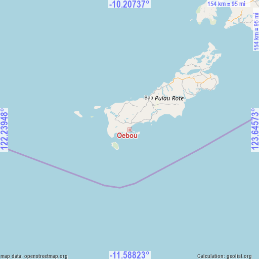
Oebou GPS coordinates[2]
10° 53' 54.96" South, 122° 56' 33.36" East
| Map corner | latitude | longitude |
|---|---|---|
| Upper-left | -10.20737°, | 122.23948° |
| Center: | -10.8986°, | 122.9426° |
| Lower-right: | -11.58823°, | 123.64573° |
| Map W x H: | 153.5×153.5 km | = 95.4×95.4mi |
| max Lat: | 5.88969° ⇑100% North |
| Oebou: | -10.8986° |
| min Lat: | ⇓0% South -10.934° |
| min Long | Oebou | max Long |
| 95.1345° | 122.9426° | 140.9419° |
| W 89.9%⇐ | ⇒10.1% E |
Elevation
Elevation of Oebou is 40 m = 131 ft, and this is 189.7 m = 622 ft below average elevation for this country.
| Max E: |
3185 m = 10449 ft | 66.1% |
| Avg. | 229.7 m = 754 ft | |
| Oebou | 40 m = 131 ft | |
Min E: |
-1 m = -3 ft | 33.9% |
See also: Indonesia elevation on elevation.city.
Geographical zone
Oebou is located in South Torrid zone (between Equator and Tropic of Capricorn). Distance of Equator is 1211.8 km =753 mi to North.| Distance of | km | miles | from Oebou |
|---|---|---|---|
| Equator | 1211.8 | 753 | to North |
| Tropic Capricorn | 1394.1 | 866.3 | to South |
| Antarctic Circle | 6189.4 | 3845.9 | to South |
| South Pole | 8795.3 | 5465.1 | to South |


Nearby cities:
15 places around Oebou: (largest is in red/bold)
• Batutua
6.3 km =3.9 mi,  46°
46°
• Batutua Satu
6.1 km =3.8 mi, 46°
• Deranitan
8.7 km =5.4 mi,  61°
61°
• Faeanak Dua
11.4 km =7.1 mi,  0°
0°
• Inggudale
8.3 km =5.2 mi, 48°
• Laes
11.1 km =6.9 mi, 56°
• Lalukoen Dua
4.3 km =2.7 mi,  336°
336°
• Leteki
4.5 km =2.8 mi,  268°
268°
• Lidor
6.6 km =4.1 mi,  333°
333°
• Nggalai Barat
11.4 km =7.1 mi, 47°
• Oebaffok Satu
10.3 km =6.4 mi,  25°
25°
• Oehandi Utara
5.3 km =3.3 mi,  13°
13°
• Oemau
11 km =6.8 mi,  249°
249°
• Olo
10.3 km =6.4 mi,  303°
303°
• Roioen
6.2 km =3.9 mi, 10°
Sources, notices
• [Note1] Compared only with cities in Indonesia existing in our database
• [Src1] Map data: © OpenStreetMap contributors (CC-BY-SA)
• [Src2] Other city data from geonames.org with taken over terms of usage.
• [Src3] Geographical zone / Annual Mean Temperature by Robert A. Rohde @ Wikipedia
