Tuanai geodata
Tuanai (East Nusa Tenggara) is a seat of a fourth-order administrative division; located in Indonesia in Asia/Makassar (GMT+8) time zone. In our database, there are 407 cities with bigger population. Compared to other cities in Indonesia, 99.2% of cities are located further ↑North; 91.9% of cities are located further ←West and 62.4% of cities have higher elevation than Tuanai. Note1


Tuanai GPS coordinates[2]
10° 36' 52.56" South, 123° 23' 15" East
| Map corner | latitude | longitude |
|---|---|---|
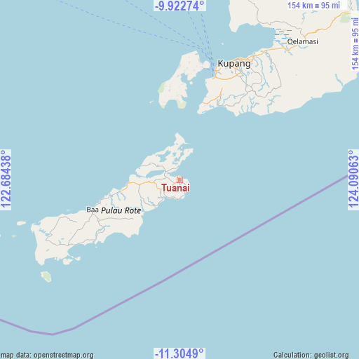
| Upper-left | -9.92274°, | 122.68438° |
| Center: | -10.6146°, | 123.3875° |
| Lower-right: | -11.3049°, | 124.09063° |
| Map W x H: | 153.7×153.7 km | = 95.5×95.5mi |
| max Lat: | 5.88969° ⇑99.2% North |
| Tuanai: | -10.6146° |
| min Lat: | ⇓0.8% South -10.934° |
| min Long | Tuanai | max Long |
| 95.1345° | 123.3875° | 140.9419° |
| W 91.9%⇐ | ⇒8.1% E |
Elevation
Elevation of Tuanai is 50 m = 164 ft, and this is 179.7 m = 590 ft below average elevation for this country.
| Max E: |
3185 m = 10449 ft | 62.4% |
| Avg. | 229.7 m = 754 ft | |
| Tuanai | 50 m = 164 ft | |
Min E: |
-1 m = -3 ft | 37.6% |
See also: Indonesia elevation on elevation.city.
Geographical zone
Tuanai is located in South Torrid zone (between Equator and Tropic of Capricorn). Distance of Equator is 1180.2 km =733.3 mi to North.| Distance of | km | miles | from Tuanai |
|---|---|---|---|
| Equator | 1180.2 | 733.3 | to North |
| Tropic Capricorn | 1425.7 | 885.9 | to South |
| Antarctic Circle | 6220.9 | 3865.5 | to South |
| South Pole | 8826.8 | 5484.7 | to South |


Nearby cities:
15 places around Tuanai: (largest is in red/bold)
• Baeoen
1.7 km =1.1 mi,  144°
144°
• Batuidu
2.2 km =1.4 mi,  116°
116°
• Bebengu
12.5 km =7.8 mi,  221°
221°
• Eahun
0.3 km =0.2 mi,  270°
270°
• Fukadale
8.3 km =5.2 mi,  206°
206°
• Hailean
2.9 km =1.8 mi,  255°
255°
• Karafao
14.5 km =9 mi,  284°
284°
• Kenamoen
13.6 km =8.5 mi,  306°
306°
• Keoen Satu
10.2 km =6.3 mi, 271°
• Nesubatu
7.4 km =4.6 mi,  238°
238°
• Oesuti Dua
8.6 km =5.3 mi, 268°
• Olafulihaa
16.8 km =10.4 mi, 263°
• Puan Selatan
15.3 km =9.5 mi, 223°
• Sowau
5.2 km =3.2 mi,  345°
345°
• Sua
13.5 km =8.4 mi, 266°
Sources, notices
• [Note1] Compared only with cities in Indonesia existing in our database
• [Src1] Map data: © OpenStreetMap contributors (CC-BY-SA)
• [Src2] Other city data from geonames.org with taken over terms of usage.
• [Src3] Geographical zone / Annual Mean Temperature by Robert A. Rohde @ Wikipedia
