Bebengu geodata
Bebengu (East Nusa Tenggara) is a seat of a fourth-order administrative division; located in Indonesia in Asia/Makassar (GMT+8) time zone. In our database, there are 407 cities with bigger population. Compared to other cities in Indonesia, 99.4% of cities are located further ↑North; 91.8% of cities are located further ←West and 90.6% of cities have higher elevation than Bebengu. Note1


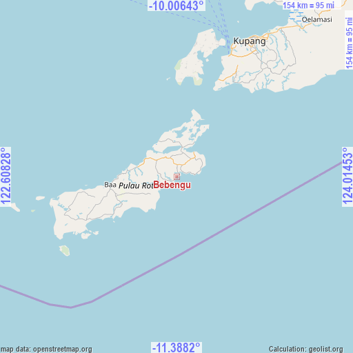
Bebengu GPS coordinates[2]
10° 41' 53.16" South, 123° 18' 41.04" East
| Map corner | latitude | longitude |
|---|---|---|
| Upper-left | -10.00643°, | 122.60828° |
| Center: | -10.6981°, | 123.3114° |
| Lower-right: | -11.3882°, | 124.01453° |
| Map W x H: | 153.6×153.6 km | = 95.4×95.4mi |
| max Lat: | 5.88969° ⇑99.4% North |
| Bebengu: | -10.6981° |
| min Lat: | ⇓0.6% South -10.934° |
| min Long | Bebengu | max Long |
| 95.1345° | 123.3114° | 140.9419° |
| W 91.8%⇐ | ⇒8.2% E |
Elevation
Elevation of Bebengu is 10 m = 33 ft, and this is 219.7 m = 721 ft below average elevation for this country.
| Max E: |
3185 m = 10449 ft | 90.6% |
| Avg. | 229.7 m = 754 ft | |
| Bebengu | 10 m = 33 ft | |
Min E: |
-1 m = -3 ft | 9.4% |
See also: Indonesia elevation on elevation.city.
Geographical zone
Bebengu is located in South Torrid zone (between Equator and Tropic of Capricorn). Distance of Equator is 1189.5 km =739.1 mi to North.| Distance of | km | miles | from Bebengu |
|---|---|---|---|
| Equator | 1189.5 | 739.1 | to North |
| Tropic Capricorn | 1416.4 | 880.1 | to South |
| Antarctic Circle | 6211.7 | 3859.8 | to South |
| South Pole | 8817.5 | 5478.9 | to South |


Nearby cities:
15 places around Bebengu: (largest is in red/bold)
• Baeoen
12.2 km =7.6 mi,  49°
49°
• Batulilok Satu
8.6 km =5.3 mi,  240°
240°
• Bengubelan
9.6 km =6 mi, 235°
• Eahun
12.3 km =7.6 mi,  40°
40°
• Fukadale
5 km =3.1 mi,  68°
68°
• Hailean
10.1 km =6.3 mi,  32°
32°
• Kakaek
6.9 km =4.3 mi, 236°
• Keoen Satu
9.7 km =6 mi,  348°
348°
• Nesubatu
5.8 km =3.6 mi,  20°
20°
• Oesuti Dua
9.1 km =5.7 mi,  358°
358°
• Olafulihaa
11.2 km =7 mi,  311°
311°
• Puan Selatan
2.9 km =1.8 mi,  231°
231°
• Seda
13.1 km =8.1 mi, 232°
• Sua
10 km =6.2 mi,  328°
328°
• Tuanai
12.5 km =7.8 mi, 41°
Sources, notices
• [Note1] Compared only with cities in Indonesia existing in our database
• [Src1] Map data: © OpenStreetMap contributors (CC-BY-SA)
• [Src2] Other city data from geonames.org with taken over terms of usage.
• [Src3] Geographical zone / Annual Mean Temperature by Robert A. Rohde @ Wikipedia
