Duwakkandung geodata
Duwakkandung (East Java) is a seat of a fourth-order administrative division; located in Indonesia in Asia/Jakarta (GMT+7) time zone. In our database, there are 407 cities with bigger population. Compared to other cities in Indonesia, 66.8% of cities are located further ↓South; 61.3% of cities are located further ←West and 60% of cities have lower elevation than Duwakkandung. Note1


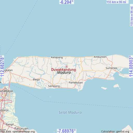
Duwakkandung GPS coordinates[2]
6° 59' 32.64" South, 113° 23' 9.24" East
| Map corner | latitude | longitude |
|---|---|---|
| Upper-left | -6.294°, | 112.68278° |
| Center: | -6.9924°, | 113.3859° |
| Lower-right: | -7.68976°, | 114.08903° |
| Map W x H: | 155.2×155.2 km | = 96.4×96.4mi |
| max Lat: | 5.88969° ⇑33.2% North |
| Duwakkandung: | -6.9924° |
| min Lat: | ⇓66.8% South -10.934° |
| min Long | Duwakkandung | max Long |
| 95.1345° | 113.3859° | 140.9419° |
| W 61.3%⇐ | ⇒38.7% E |
Elevation
Elevation of Duwakkandung is 163 m = 535 ft, and this is 66.7 m = 219 ft below average elevation for this country.
| Max E: |
3185 m = 10449 ft | 40% |
| Avg. | 229.7 m = 754 ft | |
| Duwakkandung | 163 m = 535 ft | |
Min E: |
-1 m = -3 ft | 60% |
See also: Indonesia elevation on elevation.city.
Geographical zone
Duwakkandung is located in South Torrid zone (between Equator and Tropic of Capricorn). Distance of Equator is 777.5 km =483.1 mi to North.| Distance of | km | miles | from Duwakkandung |
|---|---|---|---|
| Equator | 777.5 | 483.1 | to North |
| Tropic Capricorn | 1828.4 | 1136.1 | to South |
| Antarctic Circle | 6623.7 | 4115.8 | to South |
| South Pole | 9229.6 | 5735 | to South |


Nearby cities:
15 places around Duwakkandung: (largest is in red/bold)
• Bira
10.3 km =6.4 mi,  3°
3°
• Bungkeduk
3.4 km =2.1 mi,  344°
344°
• Kemereh
6.5 km =4 mi,  331°
331°
• Kendung Timur
8.5 km =5.3 mi,  346°
346°
• Kombangan
2.3 km =1.4 mi,  80°
80°
• Kopok
5.9 km =3.7 mi,  22°
22°
• Kranjih
9.5 km =5.9 mi,  48°
48°
• Lekedalem
6.8 km =4.2 mi,  282°
282°
• Nanger
8.8 km =5.5 mi, 276°
• Nongkesan
10.8 km =6.7 mi, 48°
• Palecenan
4.5 km =2.8 mi, 24°
• Pangtangis Dajah
9.1 km =5.7 mi,  28°
28°
• Ragung
5.7 km =3.5 mi, 342°
• Secang Barat
6.5 km =4 mi,  71°
71°
• Tengah
10.6 km =6.6 mi,  298°
298°
Sources, notices
• [Note1] Compared only with cities in Indonesia existing in our database
• [Src1] Map data: © OpenStreetMap contributors (CC-BY-SA)
• [Src2] Other city data from geonames.org with taken over terms of usage.
• [Src3] Geographical zone / Annual Mean Temperature by Robert A. Rohde @ Wikipedia
