Tengah geodata
Tengah (East Java) is a seat of a fourth-order administrative division; located in Indonesia in Asia/Jakarta (GMT+7) time zone. In our database, there are 407 cities with bigger population. Compared to other cities in Indonesia, 70.1% of cities are located further ↓South; 67.9% of cities are located further ←West and 90.6% of cities have higher elevation than Tengah. Note1


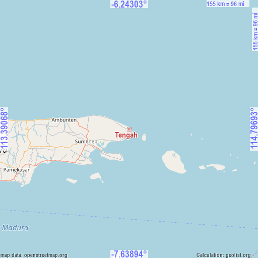
Tengah GPS coordinates[2]
6° 56' 29.4" South, 114° 5' 37.68" East
| Map corner | latitude | longitude |
|---|---|---|
| Upper-left | -6.24303°, | 113.39068° |
| Center: | -6.9415°, | 114.0938° |
| Lower-right: | -7.63894°, | 114.79693° |
| Map W x H: | 155.2×155.2 km | = 96.4×96.4mi |
| max Lat: | 5.88969° ⇑29.9% North |
| Tengah: | -6.9415° |
| min Lat: | ⇓70.1% South -10.934° |
| min Long | Tengah | max Long |
| 95.1345° | 114.0938° | 140.9419° |
| W 67.9%⇐ | ⇒32.1% E |
Elevation
Elevation of Tengah is 10 m = 33 ft, and this is 219.7 m = 721 ft below average elevation for this country.
| Max E: |
3185 m = 10449 ft | 90.6% |
| Avg. | 229.7 m = 754 ft | |
| Tengah | 10 m = 33 ft | |
Min E: |
-1 m = -3 ft | 9.4% |
See also: Indonesia elevation on elevation.city.
Geographical zone
Tengah is located in South Torrid zone (between Equator and Tropic of Capricorn). Distance of Equator is 771.8 km =479.6 mi to North.| Distance of | km | miles | from Tengah |
|---|---|---|---|
| Equator | 771.8 | 479.6 | to North |
| Tropic Capricorn | 1834.1 | 1139.7 | to South |
| Antarctic Circle | 6629.4 | 4119.3 | to South |
| South Pole | 9235.2 | 5738.5 | to South |


Nearby cities:
15 places around Tengah: (largest is in red/bold)
• Ares Tengah
2.8 km =1.7 mi,  155°
155°
• Ares Tengah
4.9 km =3 mi,  288°
288°
• Budagan
5.1 km =3.2 mi,  196°
196°
• Bungin-Bungin
1.4 km =0.9 mi, 286°
• Daja Lorong
3.9 km =2.4 mi,  210°
210°
• Dungkek
4 km =2.5 mi,  178°
178°
• Dungkek Laok
4 km =2.5 mi,  193°
193°
• Ginyang
4.8 km =3 mi,  227°
227°
• Kalerker
6.8 km =4.2 mi, 292°
• Ngabungan
7.6 km =4.7 mi,  256°
256°
• Pandian
4 km =2.5 mi, 288°
• Poja
6.9 km =4.3 mi,  250°
250°
• Samburat
7.2 km =4.5 mi,  300°
300°
• Sekolan
6.2 km =3.9 mi, 264°
• Somorpenang
6.9 km =4.3 mi, 211°
Sources, notices
• [Note1] Compared only with cities in Indonesia existing in our database
• [Src1] Map data: © OpenStreetMap contributors (CC-BY-SA)
• [Src2] Other city data from geonames.org with taken over terms of usage.
• [Src3] Geographical zone / Annual Mean Temperature by Robert A. Rohde @ Wikipedia
