Riangkaha geodata
Riangkaha (East Nusa Tenggara) is a seat of a fourth-order administrative division; located in Indonesia in Asia/Makassar (GMT+8) time zone. In our database, there are 407 cities with bigger population. Compared to other cities in Indonesia, 85.2% of cities are located further ↑North; 89.5% of cities are located further ←West and 78.9% of cities have higher elevation than Riangkaha. Note1


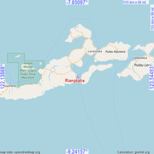
Riangkaha GPS coordinates[2]
8° 32' 48.84" South, 122° 50' 30.48" East
| Map corner | latitude | longitude |
|---|---|---|
| Upper-left | -7.85097°, | 122.13868° |
| Center: | -8.5469°, | 122.8418° |
| Lower-right: | -9.24157°, | 123.54493° |
| Map W x H: | 154.6×154.6 km | = 96.1×96.1mi |
| max Lat: | 5.88969° ⇑85.2% North |
| Riangkaha: | -8.5469° |
| min Lat: | ⇓14.8% South -10.934° |
| min Long | Riangkaha | max Long |
| 95.1345° | 122.8418° | 140.9419° |
| W 89.5%⇐ | ⇒10.5% E |
Elevation
Elevation of Riangkaha is 20 m = 66 ft, and this is 209.7 m = 688 ft below average elevation for this country.
| Max E: |
3185 m = 10449 ft | 78.9% |
| Avg. | 229.7 m = 754 ft | |
| Riangkaha | 20 m = 66 ft | |
Min E: |
-1 m = -3 ft | 21.1% |
See also: Indonesia elevation on elevation.city.
Geographical zone
Riangkaha is located in South Torrid zone (between Equator and Tropic of Capricorn). Distance of Equator is 950.3 km =590.5 mi to North.| Distance of | km | miles | from Riangkaha |
|---|---|---|---|
| Equator | 950.3 | 590.5 | to North |
| Tropic Capricorn | 1655.6 | 1028.7 | to South |
| Antarctic Circle | 6450.8 | 4008.3 | to South |
| South Pole | 9056.7 | 5627.6 | to South |


Nearby cities:
15 places around Riangkaha: (largest is in red/bold)
• Boru
14.6 km =9.1 mi,  279°
279°
• Daniwato
13.7 km =8.5 mi,  61°
61°
• Duang
12.6 km =7.8 mi,  264°
264°
• Kalelu
10.5 km =6.5 mi,  86°
86°
• Konga
12.9 km =8 mi,  325°
325°
• Lamika
14.5 km =9 mi,  359°
359°
• Lewohokeng
6.9 km =4.3 mi,  128°
128°
• Lewotobi
3.3 km =2.1 mi,  191°
191°
• Nobo
9 km =5.6 mi,  320°
320°
• Nurabelen
3.7 km =2.3 mi, 332°
• Riangbaring
9.6 km =6 mi,  225°
225°
• Ritaebang
4.9 km =3 mi,  68°
68°
• Ritaebang Satu
5.2 km =3.2 mi, 65°
• Tanahedang
6.7 km =4.2 mi,  96°
96°
• Watubuku
12.6 km =7.8 mi,  239°
239°
Sources, notices
• [Note1] Compared only with cities in Indonesia existing in our database
• [Src1] Map data: © OpenStreetMap contributors (CC-BY-SA)
• [Src2] Other city data from geonames.org with taken over terms of usage.
• [Src3] Geographical zone / Annual Mean Temperature by Robert A. Rohde @ Wikipedia
