Kebar geodata
Kebar (West Papua) is a seat of a third-order administrative division; located in Indonesia in Asia/Jayapura (GMT+9) time zone. In our database, there are 407 cities with bigger population. Compared to other cities in Indonesia, 94.1% of cities are located further ↓South; 99% of cities are located further ←West and 88% of cities have lower elevation than Kebar. Note1


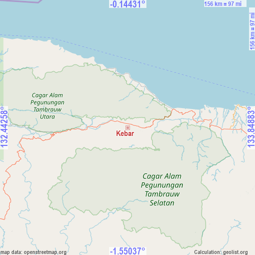
Kebar GPS coordinates[2]
0° 50' 50.64" South, 133° 8' 44.52" East
| Map corner | latitude | longitude |
|---|---|---|
| Upper-left | -0.14431°, | 132.44258° |
| Center: | -0.8474°, | 133.1457° |
| Lower-right: | -1.55037°, | 133.84883° |
| Map W x H: | 156.3×156.3 km | = 97.1×97.1mi |
| max Lat: | 5.88969° ⇑5.9% North |
| Kebar: | -0.8474° |
| min Lat: | ⇓94.1% South -10.934° |
| min Long | Kebar | max Long |
| 95.1345° | 133.1457° | 140.9419° |
| W 99%⇐ | ⇒1% E |
Elevation
Elevation of Kebar is 584 m = 1916 ft, and this is 354.3 m = 1162 ft above average elevation for this country.
| Max E: |
3185 m = 10449 ft | 12% |
| Kebar | 584 m 1916 ft | |
| Avg. | 229.7 m = 754 ft | |
Min E: |
-1 m = -3 ft | 88% |
See also: Indonesia elevation on elevation.city.
Geographical zone
Kebar is located in South Torrid zone (between Equator and Tropic of Capricorn). Distance of Equator is 94.2 km =58.5 mi to North.| Distance of | km | miles | from Kebar |
|---|---|---|---|
| Equator | 94.2 | 58.5 | to North |
| Tropic Capricorn | 2511.7 | 1560.7 | to South |
| Antarctic Circle | 7307 | 4540.4 | to South |
| South Pole | 9912.8 | 6159.5 | to South |


Nearby cities:
15 places around Kebar: (largest is in red/bold)
• Aifat
79.9 km =49.6 mi,  243°
243°
• Aitinyo
102.9 km =63.9 mi, 239°
• Ayamaru
116 km =72.1 mi,  245°
245°
• Fef
79.4 km =49.3 mi,  273°
273°
• Kumurkek
85 km =52.8 mi, 237°
• Manokwari
102.1 km =63.4 mi,  90°
90°
• Mega
139.5 km =86.7 mi,  278°
278°
• Merdey
93.4 km =58 mi,  166°
166°
• Oransbari
135.5 km =84.2 mi,  114°
114°
• Ransiki
135.6 km =84.3 mi,  122°
122°
• Saukorem
31.4 km =19.5 mi,  1°
1°
• Sausapor
124 km =77.1 mi,  288°
288°
• Teminabuan
142.1 km =88.3 mi, 242°
• Ullong
103.3 km =64.2 mi, 124°
• Warmare
92.7 km =57.6 mi, 108°
Sources, notices
• [Note1] Compared only with cities in Indonesia existing in our database
• [Src1] Map data: © OpenStreetMap contributors (CC-BY-SA)
• [Src2] Other city data from geonames.org with taken over terms of usage.
• [Src3] Geographical zone / Annual Mean Temperature by Robert A. Rohde @ Wikipedia
