Insrom geodata
Insrom (Papua) is a populated place; located in Indonesia in Asia/Jayapura (GMT+9) time zone. With population of 3,452 people, there are 391 cities with bigger population in this country. Compared to other cities in Indonesia, 93.8% of cities are located further ↓South; 99.3% of cities are located further ←West and 73.4% of cities have higher elevation than Insrom. Note1


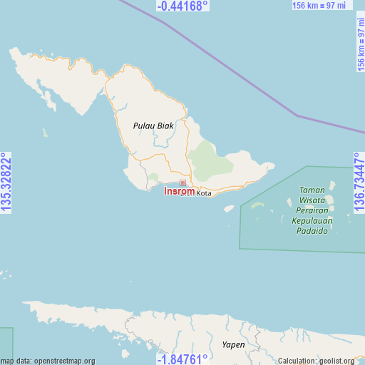
Insrom GPS coordinates[2]
1° 8' 41.028" South, 136° 1' 52.824" East
| Map corner | latitude | longitude |
|---|---|---|
| Upper-left | -0.44168°, | 135.32822° |
| Center: | -1.14473°, | 136.03134° |
| Lower-right: | -1.84761°, | 136.73447° |
| Map W x H: | 156.3×156.3 km | = 97.1×97.1mi |
| max Lat: | 5.88969° ⇑6.2% North |
| Insrom: | -1.14473° |
| min Lat: | ⇓93.8% South -10.934° |
| min Long | Insrom | max Long |
| 95.1345° | 136.03134° | 140.9419° |
| W 99.3%⇐ | ⇒0.7% E |
Elevation
Elevation of Insrom is 27 m = 89 ft, and this is 202.7 m = 665 ft below average elevation for this country.
| Max E: |
3185 m = 10449 ft | 73.4% |
| Avg. | 229.7 m = 754 ft | |
| Insrom | 27 m = 89 ft | |
Min E: |
-1 m = -3 ft | 26.6% |
See also: Indonesia elevation on elevation.city.
Geographical zone
Insrom is located in South Torrid zone (between Equator and Tropic of Capricorn). Distance of Equator is 127.3 km =79.1 mi to North.| Distance of | km | miles | from Insrom |
|---|---|---|---|
| Equator | 127.3 | 79.1 | to North |
| Tropic Capricorn | 2478.6 | 1540.1 | to South |
| Antarctic Circle | 7273.9 | 4519.8 | to South |
| South Pole | 9879.8 | 6139 | to South |


Nearby cities:
15 places around Insrom: (largest is in red/bold)
• Ansus
69.1 km =42.9 mi,  200°
200°
• Barapas
159.3 km =99 mi,  137°
137°
• Biak
6.7 km =4.2 mi,  122°
122°
• Bosnik
21.9 km =13.6 mi,  93°
93°
• Botawa
127.1 km =79 mi,  158°
158°
• Kameri
137.6 km =85.5 mi,  277°
277°
• Korem
27.2 km =16.9 mi,  2°
2°
• Korido
53.4 km =33.2 mi,  304°
304°
• Oransbari
198.3 km =123.2 mi,  263°
263°
• Ransiki
210.7 km =130.9 mi, 258°
• Serui
85.1 km =52.9 mi, 163°
• Sorendiweri
56.2 km =34.9 mi,  324°
324°
• Sumberbaba
110.2 km =68.5 mi,  132°
132°
• Wardo
23 km =14.3 mi,  293°
293°
• Waren
129 km =80.2 mi, 164°
Sources, notices
• [Note1] Compared only with cities in Indonesia existing in our database
• [Src1] Map data: © OpenStreetMap contributors (CC-BY-SA)
• [Src2] Other city data from geonames.org with taken over terms of usage.
• [Src3] Geographical zone / Annual Mean Temperature by Robert A. Rohde @ Wikipedia
