Barapas geodata
Barapas (Papua) is a seat of a third-order administrative division; located in Indonesia in Asia/Jayapura (GMT+9) time zone. In our database, there are 407 cities with bigger population. Compared to other cities in Indonesia, 92.7% of cities are located further ↓South; 99.5% of cities are located further ←West and 83% of cities have higher elevation than Barapas. Note1


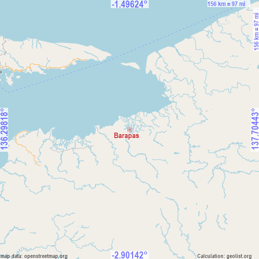
Barapas GPS coordinates[2]
2° 11' 56.4" South, 137° 0' 4.68" East
| Map corner | latitude | longitude |
|---|---|---|
| Upper-left | -1.49624°, | 136.29818° |
| Center: | -2.199°, | 137.0013° |
| Lower-right: | -2.90142°, | 137.70443° |
| Map W x H: | 156.2×156.2 km | = 97.1×97.1mi |
| max Lat: | 5.88969° ⇑7.3% North |
| Barapas: | -2.199° |
| min Lat: | ⇓92.7% South -10.934° |
| min Long | Barapas | max Long |
| 95.1345° | 137.0013° | 140.9419° |
| W 99.5%⇐ | ⇒0.5% E |
Elevation
Elevation of Barapas is 16 m = 52 ft, and this is 213.7 m = 701 ft below average elevation for this country.
| Max E: |
3185 m = 10449 ft | 83% |
| Avg. | 229.7 m = 754 ft | |
| Barapas | 16 m = 52 ft | |
Min E: |
-1 m = -3 ft | 17% |
See also: Indonesia elevation on elevation.city.
Geographical zone
Barapas is located in South Torrid zone (between Equator and Tropic of Capricorn). Distance of Equator is 244.5 km =151.9 mi to North.| Distance of | km | miles | from Barapas |
|---|---|---|---|
| Equator | 244.5 | 151.9 | to North |
| Tropic Capricorn | 2361.4 | 1467.3 | to South |
| Antarctic Circle | 7156.7 | 4447 | to South |
| South Pole | 9762.6 | 6066.2 | to South |


Nearby cities:
15 places around Barapas: (largest is in red/bold)
• Ansus
142.3 km =88.4 mi,  291°
291°
• Arbais
164.1 km =102 mi,  71°
71°
• Biak
152.8 km =94.9 mi,  318°
318°
• Bilogai
172.9 km =107.4 mi,  192°
192°
• Bosnik
144.2 km =89.6 mi, 323°
• Botawa
61.6 km =38.3 mi,  268°
268°
• Burmeso
116.4 km =72.3 mi,  96°
96°
• Homeyo
173.2 km =107.6 mi,  199°
199°
• Insrom
159.3 km =99 mi, 317°
• Kasonawejo
115.2 km =71.6 mi,  94°
94°
• Serui
91.5 km =56.9 mi, 292°
• Sugapa
171.8 km =106.8 mi,  178°
178°
• Sumberbaba
50.2 km =31.2 mi,  327°
327°
• Trimuris
96.6 km =60 mi, 73°
• Waren
74.5 km =46.3 mi,  264°
264°
Sources, notices
• [Note1] Compared only with cities in Indonesia existing in our database
• [Src1] Map data: © OpenStreetMap contributors (CC-BY-SA)
• [Src2] Other city data from geonames.org with taken over terms of usage.
• [Src3] Geographical zone / Annual Mean Temperature by Robert A. Rohde @ Wikipedia
