Solok geodata
Solok (West Sumatra) is a seat of a second-order administrative division; located in Indonesia in Asia/Jakarta (GMT+7) time zone. With population of 48,372 people, there are 239 cities with bigger population in this country. Compared to other cities in Indonesia, 94.2% of cities are located further ↓South; 96.8% of cities are located further →East and 77.6% of cities have lower elevation than Solok. Note1


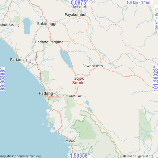
Solok GPS coordinates[2]
0° 48' 2.16" South, 100° 39' 25.56" East
| Map corner | latitude | longitude |
|---|---|---|
| Upper-left | -0.0975°, | 99.95398° |
| Center: | -0.8006°, | 100.6571° |
| Lower-right: | -1.50358°, | 101.36023° |
| Map W x H: | 156.3×156.3 km | = 97.1×97.1mi |
| max Lat: | 5.88969° ⇑5.8% North |
| Solok: | -0.8006° |
| min Lat: | ⇓94.2% South -10.934° |
| min Long | Solok | max Long |
| 95.1345° | 100.6571° | 140.9419° |
| W 3.2%⇐ | ⇒96.8% E |
Elevation
Elevation of Solok is 392 m = 1286 ft, and this is 162.3 m = 532 ft above average elevation for this country.
| Max E: |
3185 m = 10449 ft | 22.4% |
| Solok | 392 m 1286 ft | |
| Avg. | 229.7 m = 754 ft | |
Min E: |
-1 m = -3 ft | 77.6% |
See also: Solok elevation on elevation.city.
Geographical zone
Solok is located in South Torrid zone (between Equator and Tropic of Capricorn). Distance of Equator is 89 km =55.3 mi to North.| Distance of | km | miles | from Solok |
|---|---|---|---|
| Equator | 89 | 55.3 | to North |
| Tropic Capricorn | 2516.9 | 1563.9 | to South |
| Antarctic Circle | 7312.2 | 4543.6 | to South |
| South Pole | 9918 | 6162.8 | to South |


Nearby cities:
15 places around Solok: (largest is in red/bold)
• Alahanpanjang
34.1 km =21.2 mi,  153°
153°
• Arosuka
17.3 km =10.7 mi,  193°
193°
• Gunung Talang
12.1 km =7.5 mi,  195°
195°
• Kototujuh
31.6 km =19.6 mi,  54°
54°
• Kumanis
33.9 km =21.1 mi,  34°
34°
• Lubukbergalung
33.7 km =20.9 mi,  238°
238°
• Saruaso
35.4 km =22 mi,  356°
356°
• Singkarak
13.6 km =8.5 mi,  333°
333°
• Sirukam
14.9 km =9.3 mi,  130°
130°
• Sulitair
20.9 km =13 mi, 357°
• Tabing
35.8 km =22.2 mi,  257°
257°
• Talawi
24.4 km =15.2 mi,  22°
22°
• Tanjung Mas
36.1 km =22.4 mi, 20°
• Tanjungampalu
26.2 km =16.3 mi, 46°
• Tanjungampalu
27.3 km =17 mi,  43°
43°
Sources, notices
• [Note1] Compared only with cities in Indonesia existing in our database
• [Src1] Map data: © OpenStreetMap contributors (CC-BY-SA)
• [Src2] Other city data from geonames.org with taken over terms of usage.
• [Src3] Geographical zone / Annual Mean Temperature by Robert A. Rohde @ Wikipedia
