Tabing geodata
Tabing (West Sumatra) is a seat of a third-order administrative division; located in Indonesia in Asia/Jakarta (GMT+7) time zone. In our database, there are 407 cities with bigger population. Compared to other cities in Indonesia, 94.1% of cities are located further ↓South; 97.2% of cities are located further →East and 99.4% of cities have higher elevation than Tabing. Note1


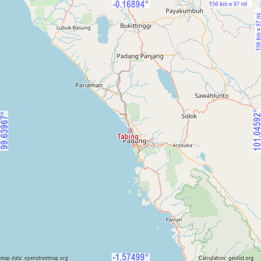
Tabing GPS coordinates[2]
0° 52' 19.308" South, 100° 20' 34.044" East
| Map corner | latitude | longitude |
|---|---|---|
| Upper-left | -0.16894°, | 99.63967° |
| Center: | -0.87203°, | 100.34279° |
| Lower-right: | -1.57499°, | 101.04592° |
| Map W x H: | 156.3×156.3 km | = 97.1×97.1mi |
| max Lat: | 5.88969° ⇑5.9% North |
| Tabing: | -0.87203° |
| min Lat: | ⇓94.1% South -10.934° |
| min Long | Tabing | max Long |
| 95.1345° | 100.34279° | 140.9419° |
| W 2.8%⇐ | ⇒97.2% E |
Elevation
Elevation of Tabing is 3 m = 10 ft, and this is 226.7 m = 744 ft below average elevation for this country.
| Max E: |
3185 m = 10449 ft | 99.4% |
| Avg. | 229.7 m = 754 ft | |
| Tabing | 3 m = 10 ft | |
Min E: |
-1 m = -3 ft | 0.6% |
See also: Indonesia elevation on elevation.city.
Geographical zone
Tabing is located in South Torrid zone (between Equator and Tropic of Capricorn). Distance of Equator is 97 km =60.3 mi to North.| Distance of | km | miles | from Tabing |
|---|---|---|---|
| Equator | 97 | 60.3 | to North |
| Tropic Capricorn | 2509 | 1559 | to South |
| Antarctic Circle | 7304.2 | 4538.6 | to South |
| South Pole | 9910.1 | 6157.8 | to South |


Nearby cities:
15 places around Tabing: (largest is in red/bold)
• Arosuka
32.2 km =20 mi,  106°
106°
• Gunung Talang
31.8 km =19.8 mi,  96°
96°
• Kampungladang
41.4 km =25.7 mi,  332°
332°
• Lubukalung
21.2 km =13.2 mi,  352°
352°
• Lubukalung
21.6 km =13.4 mi,  343°
343°
• Lubukbergalung
11.7 km =7.3 mi,  147°
147°
• Padang
8.7 km =5.4 mi,  171°
171°
• Pariaman
37.5 km =23.3 mi,  318°
318°
• Parit Malintang
28.9 km =18 mi, 345°
• Pauhambar
28.1 km =17.5 mi, 329°
• Singkarak
35.3 km =21.9 mi,  55°
55°
• Sirukam
46.4 km =28.8 mi,  92°
92°
• Solok
35.8 km =22.2 mi,  77°
77°
• Sulitair
44.5 km =27.7 mi,  49°
49°
• Sungaisarik
35.7 km =22.2 mi, 338°
Sources, notices
• [Note1] Compared only with cities in Indonesia existing in our database
• [Src1] Map data: © OpenStreetMap contributors (CC-BY-SA)
• [Src2] Other city data from geonames.org with taken over terms of usage.
• [Src3] Geographical zone / Annual Mean Temperature by Robert A. Rohde @ Wikipedia
