Nginokrajan geodata
Nginokrajan (East Java) is a seat of a fourth-order administrative division; located in Indonesia in Asia/Jakarta (GMT+7) time zone. In our database, there are 407 cities with bigger population. Compared to other cities in Indonesia, 66.7% of cities are located further ↓South; 50.7% of cities are located further ←West and 54.6% of cities have higher elevation than Nginokrajan. Note1


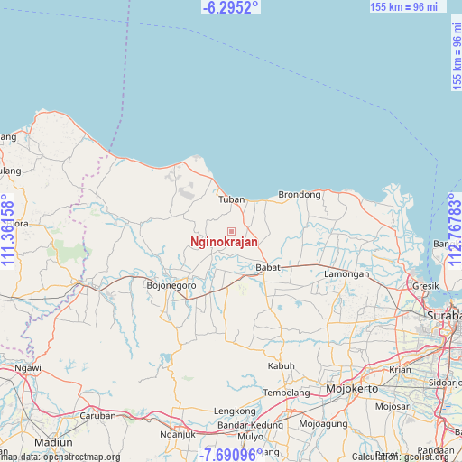
Nginokrajan GPS coordinates[2]
6° 59' 36.96" South, 112° 3' 52.92" East
| Map corner | latitude | longitude |
|---|---|---|
| Upper-left | -6.2952°, | 111.36158° |
| Center: | -6.9936°, | 112.0647° |
| Lower-right: | -7.69096°, | 112.76783° |
| Map W x H: | 155.2×155.2 km | = 96.4×96.4mi |
| max Lat: | 5.88969° ⇑33.3% North |
| Nginokrajan: | -6.9936° |
| min Lat: | ⇓66.7% South -10.934° |
| min Long | Nginokrajan | max Long |
| 95.1345° | 112.0647° | 140.9419° |
| W 50.7%⇐ | ⇒49.3% E |
Elevation
Elevation of Nginokrajan is 87 m = 285 ft, and this is 142.7 m = 468 ft below average elevation for this country.
| Max E: |
3185 m = 10449 ft | 54.6% |
| Avg. | 229.7 m = 754 ft | |
| Nginokrajan | 87 m = 285 ft | |
Min E: |
-1 m = -3 ft | 45.4% |
See also: Indonesia elevation on elevation.city.
Geographical zone
Nginokrajan is located in South Torrid zone (between Equator and Tropic of Capricorn). Distance of Equator is 777.6 km =483.2 mi to North.| Distance of | km | miles | from Nginokrajan |
|---|---|---|---|
| Equator | 777.6 | 483.2 | to North |
| Tropic Capricorn | 1828.3 | 1136.1 | to South |
| Antarctic Circle | 6623.6 | 4115.7 | to South |
| South Pole | 9229.4 | 5734.9 | to South |


Nearby cities:
15 places around Nginokrajan: (largest is in red/bold)
• Bandaran
7.4 km =4.6 mi,  353°
353°
• Banjarsari
8.2 km =5.1 mi,  27°
27°
• Bejagung Kidul
8.1 km =5 mi,  359°
359°
• Dempel
5.3 km =3.3 mi,  99°
99°
• Drudikrajan
1.8 km =1.1 mi, 352°
• Gesikan
8.6 km =5.3 mi,  265°
265°
• Gesing
5.9 km =3.7 mi,  56°
56°
• Kebondempet
7.1 km =4.4 mi, 33°
• Kowang Utara
6 km =3.7 mi,  23°
23°
• Krajan Dermawuharjo
4.1 km =2.5 mi,  250°
250°
• Krajan Genaharjo
3.5 km =2.2 mi,  11°
11°
• Krajan Prunggahan Wetan
6.4 km =4 mi,  344°
344°
• Penambangan
6.2 km =3.9 mi, 356°
• Pericik
8 km =5 mi, 350°
• Semanding Barat
7.5 km =4.7 mi,  0°
0°
Sources, notices
• [Note1] Compared only with cities in Indonesia existing in our database
• [Src1] Map data: © OpenStreetMap contributors (CC-BY-SA)
• [Src2] Other city data from geonames.org with taken over terms of usage.
• [Src3] Geographical zone / Annual Mean Temperature by Robert A. Rohde @ Wikipedia
