Lunyuk Ode geodata
Lunyuk Ode (West Nusa Tenggara) is a seat of a fourth-order administrative division; located in Indonesia in Asia/Makassar (GMT+8) time zone. In our database, there are 407 cities with bigger population. Compared to other cities in Indonesia, 92.6% of cities are located further ↑North; 78.7% of cities are located further ←West and 81.9% of cities have higher elevation than Lunyuk Ode. Note1


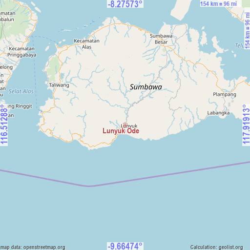
Lunyuk Ode GPS coordinates[2]
8° 58' 15.24" South, 117° 12' 57.6" East
| Map corner | latitude | longitude |
|---|---|---|
| Upper-left | -8.27573°, | 116.51288° |
| Center: | -8.9709°, | 117.216° |
| Lower-right: | -9.66474°, | 117.91913° |
| Map W x H: | 154.4×154.4 km | = 95.9×95.9mi |
| max Lat: | 5.88969° ⇑92.6% North |
| Lunyuk Ode: | -8.9709° |
| min Lat: | ⇓7.4% South -10.934° |
| min Long | Lunyuk Ode | max Long |
| 95.1345° | 117.216° | 140.9419° |
| W 78.7%⇐ | ⇒21.3% E |
Elevation
Elevation of Lunyuk Ode is 17 m = 56 ft, and this is 212.7 m = 698 ft below average elevation for this country.
| Max E: |
3185 m = 10449 ft | 81.9% |
| Avg. | 229.7 m = 754 ft | |
| Lunyuk Ode | 17 m = 56 ft | |
Min E: |
-1 m = -3 ft | 18.1% |
See also: Indonesia elevation on elevation.city.
Geographical zone
Lunyuk Ode is located in South Torrid zone (between Equator and Tropic of Capricorn). Distance of Equator is 997.5 km =619.8 mi to North.| Distance of | km | miles | from Lunyuk Ode |
|---|---|---|---|
| Equator | 997.5 | 619.8 | to North |
| Tropic Capricorn | 1608.4 | 999.4 | to South |
| Antarctic Circle | 6403.7 | 3979.1 | to South |
| South Pole | 9009.6 | 5598.3 | to South |


Nearby cities:
15 places around Lunyuk Ode: (largest is in red/bold)
• Baodesasampar
37.6 km =23.4 mi,  349°
349°
• Batudulang
43.2 km =26.8 mi,  9°
9°
• Baturotok
34.9 km =21.7 mi, 347°
• Krida
3.2 km =2 mi,  255°
255°
• Lenangguar
30.9 km =19.2 mi,  32°
32°
• Mungkin
26.3 km =16.3 mi,  338°
338°
• Muraloka
43.1 km =26.8 mi,  300°
300°
• Padasuka
2.7 km =1.7 mi,  201°
201°
• Semamung
42.5 km =26.4 mi, 33°
• Sempe Atas
38.7 km =24 mi,  24°
24°
• Sobeok
23.9 km =14.9 mi, 352°
• Sukamaju
1.6 km =1 mi, 258°
• Tangkanpulit
34.8 km =21.6 mi, 352°
• Tatebal
28.5 km =17.7 mi, 32°
• Tepal
38.6 km =24 mi, 353°
Sources, notices
• [Note1] Compared only with cities in Indonesia existing in our database
• [Src1] Map data: © OpenStreetMap contributors (CC-BY-SA)
• [Src2] Other city data from geonames.org with taken over terms of usage.
• [Src3] Geographical zone / Annual Mean Temperature by Robert A. Rohde @ Wikipedia
