Liwa geodata
Liwa (Lampung) is a seat of a second-order administrative division; located in Indonesia in Asia/Jakarta (GMT+7) time zone. In our database, there are 407 cities with bigger population. Compared to other cities in Indonesia, 88.6% of cities are located further ↓South; 95.1% of cities are located further →East and 96.5% of cities have lower elevation than Liwa. Note1


Liwa GPS coordinates[2]
5° 2' 7.944" South, 104° 4' 33.42" East
| Map corner | latitude | longitude |
|---|---|---|
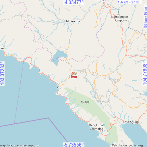
| Upper-left | -4.33477°, | 103.37283° |
| Center: | -5.03554°, | 104.07595° |
| Lower-right: | -5.73556°, | 104.77908° |
| Map W x H: | 155.8×155.8 km | = 96.8×96.8mi |
| max Lat: | 5.88969° ⇑11.4% North |
| Liwa: | -5.03554° |
| min Lat: | ⇓88.6% South -10.934° |
| min Long | Liwa | max Long |
| 95.1345° | 104.07595° | 140.9419° |
| W 4.9%⇐ | ⇒95.1% E |
Elevation
Elevation of Liwa is 912 m = 2992 ft, and this is 682.3 m = 2239 ft above average elevation for this country.
| Max E: |
3185 m = 10449 ft | 3.5% |
| Liwa | 912 m 2992 ft | |
| Avg. | 229.7 m = 754 ft | |
Min E: |
-1 m = -3 ft | 96.5% |
See also: Indonesia elevation on elevation.city.
Geographical zone
Liwa is located in South Torrid zone (between Equator and Tropic of Capricorn). Distance of Equator is 559.9 km =347.9 mi to North.| Distance of | km | miles | from Liwa |
|---|---|---|---|
| Equator | 559.9 | 347.9 | to North |
| Tropic Capricorn | 2046 | 1271.3 | to South |
| Antarctic Circle | 6841.3 | 4251 | to South |
| South Pole | 9447.2 | 5870.2 | to South |


Nearby cities:
15 places around Liwa: (largest is in red/bold)
• Banding Agung
30.2 km =18.8 mi,  326°
326°
• Bara Datu
56.7 km =35.2 mi,  55°
55°
• Biha
33.1 km =20.6 mi,  188°
188°
• Blambangan Umpu
77 km =47.8 mi,  39°
39°
• Bukitkemuning
58.5 km =36.4 mi,  70°
70°
• Kasui
54.6 km =33.9 mi,  49°
49°
• Kenali
13.8 km =8.6 mi, 69°
• Krui
22.4 km =13.9 mi,  223°
223°
• Kuripan
34.5 km =21.4 mi,  270°
270°
• Muara Dua
56 km =34.8 mi,  359°
359°
• Oganlima
71.9 km =44.7 mi, 74°
• Pasar Banjit
52.2 km =32.4 mi, 59°
• Pulauberingin
76.9 km =47.8 mi,  320°
320°
• Simpang
66.5 km =41.3 mi,  11°
11°
• Umbulan Kapiak
54.9 km =34.1 mi, 65°
Sources, notices
• [Note1] Compared only with cities in Indonesia existing in our database
• [Src1] Map data: © OpenStreetMap contributors (CC-BY-SA)
• [Src2] Other city data from geonames.org with taken over terms of usage.
• [Src3] Geographical zone / Annual Mean Temperature by Robert A. Rohde @ Wikipedia
