Gunungwungkal geodata
Gunungwungkal (Central Java) is a seat of a third-order administrative division; located in Indonesia in Asia/Jakarta (GMT+7) time zone. In our database, there are 407 cities with bigger population. Compared to other cities in Indonesia, 83.2% of cities are located further ↓South; 65% of cities are located further →East and 54.5% of cities have lower elevation than Gunungwungkal. Note1


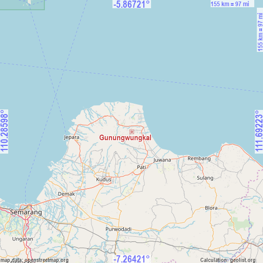
Gunungwungkal GPS coordinates[2]
6° 33' 58.32" South, 110° 59' 20.76" East
| Map corner | latitude | longitude |
|---|---|---|
| Upper-left | -5.86721°, | 110.28598° |
| Center: | -6.5662°, | 110.9891° |
| Lower-right: | -7.26421°, | 111.69223° |
| Map W x H: | 155.3×155.3 km | = 96.5×96.5mi |
| max Lat: | 5.88969° ⇑16.8% North |
| Gunungwungkal: | -6.5662° |
| min Lat: | ⇓83.2% South -10.934° |
| min Long | Gunungwungkal | max Long |
| 95.1345° | 110.9891° | 140.9419° |
| W 35%⇐ | ⇒65% E |
Elevation
Elevation of Gunungwungkal is 122 m = 400 ft, and this is 107.7 m = 353 ft below average elevation for this country.
| Max E: |
3185 m = 10449 ft | 45.5% |
| Avg. | 229.7 m = 754 ft | |
| Gunungwungkal | 122 m = 400 ft | |
Min E: |
-1 m = -3 ft | 54.5% |
See also: Indonesia elevation on elevation.city.
Geographical zone
Gunungwungkal is located in South Torrid zone (between Equator and Tropic of Capricorn). Distance of Equator is 730.1 km =453.7 mi to North.| Distance of | km | miles | from Gunungwungkal |
|---|---|---|---|
| Equator | 730.1 | 453.7 | to North |
| Tropic Capricorn | 1875.8 | 1165.6 | to South |
| Antarctic Circle | 6671.1 | 4145.2 | to South |
| South Pole | 9277 | 5764.5 | to South |


Nearby cities:
15 places around Gunungwungkal: (largest is in red/bold)
• Baleber
3.3 km =2.1 mi,  34°
34°
• Bancak Wetan
1.1 km =0.7 mi,  343°
343°
• Bangkol
4.2 km =2.6 mi, 29°
• Banteng
4.5 km =2.8 mi,  139°
139°
• Drajak
4.8 km =3 mi,  95°
95°
• Golong
3.1 km =1.9 mi,  70°
70°
• Jembul Kulon
2.4 km =1.5 mi, 25°
• Kedungbang
4.3 km =2.7 mi,  52°
52°
• Ketapang
5.5 km =3.4 mi,  81°
81°
• Krajan Gajihan
2.1 km =1.3 mi, 137°
• Ngetuk
2.8 km =1.7 mi,  90°
90°
• Pesagen
4.9 km =3 mi,  146°
146°
• Pule
5.4 km =3.4 mi, 47°
• Tanggung
5.7 km =3.5 mi, 91°
• Tegalarum
5.5 km =3.4 mi, 153°
Sources, notices
• [Note1] Compared only with cities in Indonesia existing in our database
• [Src1] Map data: © OpenStreetMap contributors (CC-BY-SA)
• [Src2] Other city data from geonames.org with taken over terms of usage.
• [Src3] Geographical zone / Annual Mean Temperature by Robert A. Rohde @ Wikipedia
