Ariel geodata
Ariel (Judea and Samaria Area) is a seat of a first-order administrative division; located in Israel in Asia/Jerusalem (GMT+3) time zone. With population of 17,668 people, there are 71 cities with bigger population in this country. Compared to other cities in Israel, 58.6% of cities are located further ↑North; 67.5% of cities are located further ←West and 87% of cities have lower elevation than Ariel. Note1


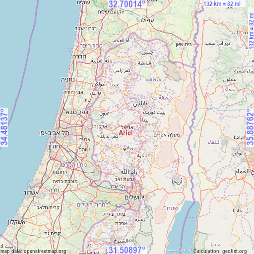
Ariel GPS coordinates[2]
32° 6' 23.4" North, 35° 11' 4.164" East
| Map corner | latitude | longitude |
|---|---|---|
| Upper-left | 32.70014°, | 34.48137° |
| Center: | 32.1065°, | 35.18449° |
| Lower-right: | 31.50897°, | 35.88762° |
| Map W x H: | 132.4×132.4 km | = 82.3×82.3mi |
| max Lat: | 33.27918° ⇑58.6% North |
| Ariel: | 32.1065° |
| min Lat: | ⇓41.4% South 29.55805° |
| min Long | Ariel | max Long |
| 34.57149° | 35.18449° | 35.81084° |
| W 67.5%⇐ | ⇒32.5% E |
Elevation
Elevation of Ariel is 567 m = 1860 ft, and this is 343.6 m = 1127 ft above average elevation for this country.
| Max E: |
988 m = 3241 ft | 13% |
| Ariel | 567 m 1860 ft | |
| Avg. | 223.4 m = 733 ft | |
Min E: |
-380 m = -1247 ft | 87% |
See also: Israel elevation on elevation.city.
Geographical zone
Ariel is located in North temperate zone (between Tropic of Cancer and the Arctic Circle). Distance of this Northern Tropic circle is 964 km =599 mi to South.| Distance of | km | miles | from Ariel |
|---|---|---|---|
| North Pole | 6437.2 | 3999.9 | to North |
| Arctic Circle | 3831.3 | 2380.7 | to North |
| Tropic Cancer | 964 | 599 | to South |
| Equator | 3569.9 | 2218.2 | to South |


Nearby cities:
15 places around Ariel: (largest is in red/bold)
• Dolev
20.6 km =12.8 mi,  193°
193°
• Eṭ Ṭaiyiba
24.3 km =15.1 mi,  317°
317°
• Hashmonaim
24.9 km =15.5 mi,  218°
218°
• Jaljūlya
22.4 km =13.9 mi,  283°
283°
• Kafr Qāsim
19.6 km =12.2 mi,  272°
272°
• Kfar NaOranim
25 km =15.5 mi,  213°
213°
• Kiryat Netafim
6.9 km =4.3 mi, 279°
• Lapid
25.4 km =15.8 mi, 214°
• Modiin Ilit
23.5 km =14.6 mi, 214°
• Na'ale
19.6 km =12.2 mi, 214°
• Nili
20.4 km =12.7 mi, 218°
• Nirit
19.2 km =11.9 mi, 283°
• Revava
5.4 km =3.4 mi,  285°
285°
• Rosh Ha‘Ayin
21.5 km =13.4 mi, 266°
• Talmon
19.2 km =11.9 mi, 193°
Sources, notices
• [Note1] Compared only with cities in Israel existing in our database
• [Src1] Map data: © OpenStreetMap contributors (CC-BY-SA)
• [Src2] Other city data from geonames.org with taken over terms of usage.
• [Src3] Geographical zone / Annual Mean Temperature by Robert A. Rohde @ Wikipedia
