Grindavík geodata
Grindavík (Southern Peninsula) is a populated place; located in Iceland in Atlantic/Reykjavik (GMT+0) time zone. With population of 2,856 people, there are 10 cities with bigger population in this country. Compared to other cities in Iceland, 93.5% of cities are located further ↑North; 78.3% of cities are located further →East and 100% of cities have higher elevation than Grindavík. Note1


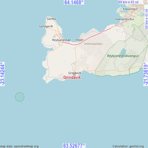
Grindavík GPS coordinates[2]
63° 50' 18.564" North, 22° 26' 21.516" West
| Map corner | latitude | longitude |
|---|---|---|
| Upper-left | 64.1468°, | -23.14244° |
| Center: | 63.83849°, | -22.43931° |
| Lower-right: | 63.52677°, | -21.73619° |
| Map W x H: | 68.9×68.9 km | = 42.8×42.8mi |
| max Lat: | 66.15917° ⇑93.5% North |
| Grindavík: | 63.83849° |
| min Lat: | ⇓6.5% South 63.44273° |
| min Long | Grindavík | max Long |
| -23.99596° | -22.43931° | -13.68368° |
| W 21.7%⇐ | ⇒78.3% E |
Elevation
Elevation of Grindavík is 1 m = 3 ft, and this is 20.3 m = 67 ft below average elevation for this country.
| Max E: |
105 m = 344 ft | 100% |
| Avg. | 21.3 m = 70 ft | |
| Grindavík | 1 m = 3 ft | |
Min E: |
1 m = 3 ft | 0% |
See also: Iceland elevation on elevation.city.
Geographical zone
Grindavík is located in North temperate zone (between Tropic of Cancer and the Arctic Circle). Distance of this North polar circle is 303 km =188.3 mi to North.| Distance of | km | miles | from Grindavík |
|---|---|---|---|
| North Pole | 2908.9 | 1807.5 | to North |
| Arctic Circle | 303 | 188.3 | to North |
| Tropic Cancer | 4492.3 | 2791.4 | to South |
| Equator | 7098.2 | 4410.6 | to South |


Nearby cities:
15 places around Grindavík: (largest is in red/bold)
• Akranes
56.6 km =35.2 mi,  18°
18°
• Garðabær
37.5 km =23.3 mi,  42°
42°
• Garður
27.2 km =16.9 mi,  338°
338°
• Grundarhverfi
53.5 km =33.2 mi,  33°
33°
• Hafnarfjörður
35.3 km =21.9 mi, 43°
• Keflavík
19.5 km =12.1 mi, 341°
• Kópavogur
39.8 km =24.7 mi, 40°
• Mosfellsbær
51.3 km =31.9 mi, 44°
• Reykjanesbær
18.7 km =11.6 mi, 341°
• Reykjavík
42.4 km =26.3 mi, 38°
• Sandgerði
25.7 km =16 mi,  329°
329°
• Seltjarnarnes
41.1 km =25.5 mi, 31°
• Vogar
16.1 km =10 mi,  9°
9°
• Álftanes
35.6 km =22.1 mi, 35°
• Þorlákshöfn
51.8 km =32.2 mi,  87°
87°
Sources, notices
• [Note1] Compared only with cities in Iceland existing in our database
• [Src1] Map data: © OpenStreetMap contributors (CC-BY-SA)
• [Src2] Other city data from geonames.org with taken over terms of usage.
• [Src3] Geographical zone / Annual Mean Temperature by Robert A. Rohde @ Wikipedia
