Bolognetta geodata
Bolognetta (Sicily) is a seat of a third-order administrative division; located in Italy in Europe/Rome (GMT+2) time zone. With population of 2,769 people, there are 3246 cities with bigger population in this country. Compared to other cities in Italy, 96.9% of cities are located further ↑North; 73% of cities are located further ←West and 60.2% of cities have lower elevation than Bolognetta. Note1


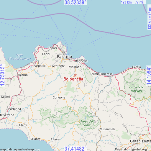
Bolognetta GPS coordinates[2]
37° 58' 16.32" North, 13° 27' 22.572" East
| Map corner | latitude | longitude |
|---|---|---|
| Upper-left | 38.52339°, | 12.75315° |
| Center: | 37.9712°, | 13.45627° |
| Lower-right: | 37.41482°, | 14.1594° |
| Map W x H: | 123.3×123.3 km | = 76.6×76.6mi |
| max Lat: | 47.04031° ⇑96.9% North |
| Bolognetta: | 37.9712° |
| min Lat: | ⇓3.1% South 35.50142° |
| min Long | Bolognetta | max Long |
| 6.69888° | 13.45627° | 18.48682° |
| W 73%⇐ | ⇒27% E |
Elevation
Elevation of Bolognetta is 300 m = 984 ft, and this is 6.7 m = 22 ft below average elevation for this country.
| Max E: |
2085 m = 6841 ft | 39.8% |
| Avg. | 306.7 m = 1006 ft | |
| Bolognetta | 300 m = 984 ft | |
Min E: |
-4 m = -13 ft | 60.2% |
See also: Italy elevation on elevation.city.
Geographical zone
Bolognetta is located in North temperate zone (between Tropic of Cancer and the Arctic Circle). Distance of this Northern Tropic circle is 1616.1 km =1004.2 mi to South.| Distance of | km | miles | from Bolognetta |
|---|---|---|---|
| North Pole | 5785.1 | 3594.7 | to North |
| Arctic Circle | 3179.2 | 1975.5 | to North |
| Tropic Cancer | 1616.1 | 1004.2 | to South |
| Equator | 4222 | 2623.4 | to South |


Nearby cities:
15 places around Bolognetta: (largest is in red/bold)
• Altavilla Milicia
11 km =6.8 mi,  47°
47°
• Baucina
8.7 km =5.4 mi,  126°
126°
• Belmonte Mezzagno
10.1 km =6.3 mi,  326°
326°
• Casteldaccia
11 km =6.8 mi,  36°
36°
• Cefalà Diana
6.2 km =3.9 mi,  174°
174°
• Godrano
8 km =5 mi,  197°
197°
• Marineo
4 km =2.5 mi,  237°
237°
• Mezzojuso
11.8 km =7.3 mi,  176°
176°
• Misilmeri
6.8 km =4.2 mi,  353°
353°
• Piano Pantaleo
8.2 km =5.1 mi, 347°
• Portella di Mare
11.3 km =7 mi,  2°
2°
• Santa Cristina Gela
11.4 km =7.1 mi,  277°
277°
• Ventimiglia di Sicilia
11.1 km =6.9 mi,  118°
118°
• Villabate
11.9 km =7.4 mi, 354°
• Villafrati
7.6 km =4.7 mi,  160°
160°
Sources, notices
• [Note1] Compared only with cities in Italy existing in our database
• [Src1] Map data: © OpenStreetMap contributors (CC-BY-SA)
• [Src2] Other city data from geonames.org with taken over terms of usage.
• [Src3] Geographical zone / Annual Mean Temperature by Robert A. Rohde @ Wikipedia
