Sedilo geodata
Sedilo (Sardinia) is a seat of a third-order administrative division; located in Italy in Europe/Rome (GMT+2) time zone. With population of 2,207 people, there are 3861 cities with bigger population in this country. Compared to other cities in Italy, 86.6% of cities are located further ↑North; 82.4% of cities are located further →East and 57.7% of cities have lower elevation than Sedilo. Note1


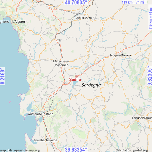
Sedilo GPS coordinates[2]
40° 10' 22.512" North, 8° 55' 11.748" East
| Map corner | latitude | longitude |
|---|---|---|
| Upper-left | 40.70805°, | 8.2168° |
| Center: | 40.17292°, | 8.91993° |
| Lower-right: | 39.63354°, | 9.62305° |
| Map W x H: | 119.5×119.5 km | = 74.3×74.3mi |
| max Lat: | 47.04031° ⇑86.6% North |
| Sedilo: | 40.17292° |
| min Lat: | ⇓13.4% South 35.50142° |
| min Long | Sedilo | max Long |
| 6.69888° | 8.91993° | 18.48682° |
| W 17.6%⇐ | ⇒82.4% E |
Elevation
Elevation of Sedilo is 284 m = 932 ft, and this is 22.7 m = 74 ft below average elevation for this country.
| Max E: |
2085 m = 6841 ft | 42.3% |
| Avg. | 306.7 m = 1006 ft | |
| Sedilo | 284 m = 932 ft | |
Min E: |
-4 m = -13 ft | 57.7% |
See also: Italy elevation on elevation.city.
Geographical zone
Sedilo is located in North temperate zone (between Tropic of Cancer and the Arctic Circle). Distance of this Northern Tropic circle is 1860.9 km =1156.3 mi to South.| Distance of | km | miles | from Sedilo |
|---|---|---|---|
| North Pole | 5540.3 | 3442.6 | to North |
| Arctic Circle | 2934.4 | 1823.4 | to North |
| Tropic Cancer | 1860.9 | 1156.3 | to South |
| Equator | 4466.8 | 2775.5 | to South |


Nearby cities:
15 places around Sedilo: (largest is in red/bold)
• Abbasanta
10 km =6.2 mi,  240°
240°
• Aidomaggiore
5.4 km =3.4 mi,  268°
268°
• Ardauli
9.9 km =6.2 mi,  183°
183°
• Bidonì
6.8 km =4.2 mi,  168°
168°
• Boroneddu
7.9 km =4.9 mi,  212°
212°
• Borore
11 km =6.8 mi,  295°
295°
• Dualchi
6.6 km =4.1 mi,  342°
342°
• Ghilarza
9.2 km =5.7 mi,  231°
231°
• Neoneli
12.2 km =7.6 mi, 169°
• Noragugume
5.7 km =3.5 mi,  0°
0°
• Norbello
8.6 km =5.3 mi, 240°
• Nughedu Santa Vittoria
8.4 km =5.2 mi,  160°
160°
• Soddì
6 km =3.7 mi,  216°
216°
• Sorradile
7.5 km =4.7 mi, 171°
• Tadasuni
7.7 km =4.8 mi,  203°
203°
Sources, notices
• [Note1] Compared only with cities in Italy existing in our database
• [Src1] Map data: © OpenStreetMap contributors (CC-BY-SA)
• [Src2] Other city data from geonames.org with taken over terms of usage.
• [Src3] Geographical zone / Annual Mean Temperature by Robert A. Rohde @ Wikipedia
