Sant'Angelo geodata
Sant'Angelo (The Marches) is a populated place; located in Italy in Europe/Rome (GMT+2) time zone. With population of 945 people, there are 6891 cities with bigger population in this country. Compared to other cities in Italy, 58.4% of cities are located further ↑North; 70.5% of cities are located further ←West and 63.7% of cities have higher elevation than Sant'Angelo. Note1


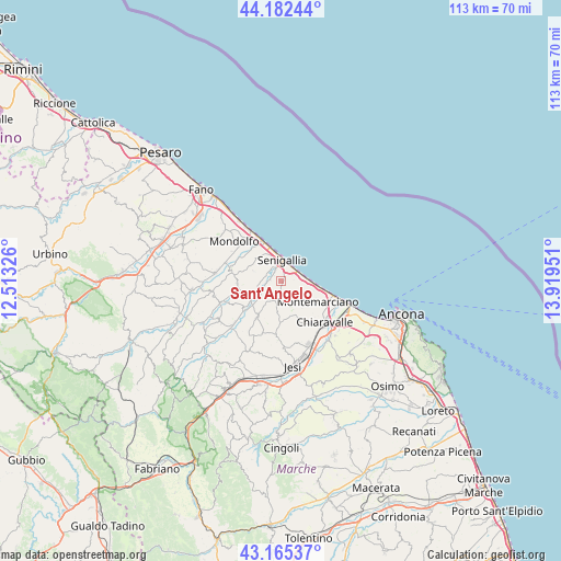
Sant'Angelo GPS coordinates[2]
43° 40' 33.816" North, 13° 12' 58.968" East
| Map corner | latitude | longitude |
|---|---|---|
| Upper-left | 44.18244°, | 12.51326° |
| Center: | 43.67606°, | 13.21638° |
| Lower-right: | 43.16537°, | 13.91951° |
| Map W x H: | 113.1×113.1 km | = 70.3×70.3mi |
| max Lat: | 47.04031° ⇑58.4% North |
| Sant'Angelo: | 43.67606° |
| min Lat: | ⇓41.6% South 35.50142° |
| min Long | Sant'Angelo | max Long |
| 6.69888° | 13.21638° | 18.48682° |
| W 70.5%⇐ | ⇒29.5% E |
Elevation
Elevation of Sant'Angelo is 136 m = 446 ft, and this is 170.7 m = 560 ft below average elevation for this country.
| Max E: |
2085 m = 6841 ft | 63.7% |
| Avg. | 306.7 m = 1006 ft | |
| Sant'Angelo | 136 m = 446 ft | |
Min E: |
-4 m = -13 ft | 36.3% |
See also: Italy elevation on elevation.city.
Geographical zone
Sant'Angelo is located in North temperate zone (between Tropic of Cancer and the Arctic Circle). Distance of this Northern Tropic circle is 2250.4 km =1398.3 mi to South.| Distance of | km | miles | from Sant'Angelo |
|---|---|---|---|
| North Pole | 5150.7 | 3200.5 | to North |
| Arctic Circle | 2544.9 | 1581.3 | to North |
| Tropic Cancer | 2250.4 | 1398.3 | to South |
| Equator | 4856.3 | 3017.6 | to South |


Nearby cities:
15 places around Sant'Angelo: (largest is in red/bold)
• Borghetto
10.6 km =6.6 mi,  144°
144°
• Casine
7.6 km =4.7 mi,  229°
229°
• Marina di Montemarciano
10.1 km =6.3 mi,  106°
106°
• Monte San Vito
9.4 km =5.8 mi,  153°
153°
• Montemarciano
8.5 km =5.3 mi,  119°
119°
• Monterado
10.4 km =6.5 mi,  282°
282°
• Montignano-Marzocca
6 km =3.7 mi,  91°
91°
• Morro d'Alba
8.5 km =5.3 mi,  181°
181°
• Ostra
8.1 km =5 mi,  214°
214°
• Passo Ripe
7.9 km =4.9 mi,  253°
253°
• Pianello
8.8 km =5.5 mi, 231°
• Ripe
8.9 km =5.5 mi,  264°
264°
• San Marcello
11.2 km =7 mi, 183°
• Senigallia
4.5 km =2.8 mi,  352°
352°
• Vallone
2.3 km =1.4 mi, 280°
Sources, notices
• [Note1] Compared only with cities in Italy existing in our database
• [Src1] Map data: © OpenStreetMap contributors (CC-BY-SA)
• [Src2] Other city data from geonames.org with taken over terms of usage.
• [Src3] Geographical zone / Annual Mean Temperature by Robert A. Rohde @ Wikipedia
