Pulfero geodata
Pulfero (Friuli Venezia Giulia) is a seat of a third-order administrative division; located in Italy in Europe/Rome (GMT+2) time zone. With population of 112 people, there are 11400 cities with bigger population in this country. Compared to other cities in Italy, 95.6% of cities are located further ↓South; 73.4% of cities are located further ←West and 57.5% of cities have higher elevation than Pulfero. Note1
Administrative division(s):
- Level 1: Friuli Venezia Giulia
- Level 2: Provincia di Udine
- Level 3: Pulfero


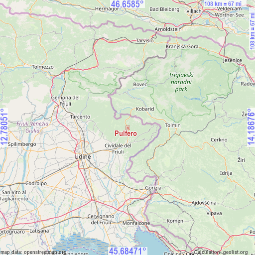
Pulfero GPS coordinates[2]
46° 10' 25.536" North, 13° 29' 1.068" East
| Map corner | latitude | longitude |
|---|---|---|
| Upper-left | 46.6585°, | 12.78051° |
| Center: | 46.17376°, | 13.48363° |
| Lower-right: | 45.68471°, | 14.18676° |
| Map W x H: | 108.3×108.3 km | = 67.3×67.3mi |
| max Lat: | 47.04031° ⇑4.4% North |
| Pulfero: | 46.17376° |
| min Lat: | ⇓95.6% South 35.50142° |
| min Long | Pulfero | max Long |
| 6.69888° | 13.48363° | 18.48682° |
| W 73.4%⇐ | ⇒26.6% E |
Elevation
Elevation of Pulfero is 184 m = 604 ft, and this is 122.7 m = 403 ft below average elevation for this country.
| Max E: |
2085 m = 6841 ft | 57.5% |
| Avg. | 306.7 m = 1006 ft | |
| Pulfero | 184 m = 604 ft | |
Min E: |
-4 m = -13 ft | 42.5% |
See also: Italy elevation on elevation.city.
Geographical zone
Pulfero is located in North temperate zone (between Tropic of Cancer and the Arctic Circle). Distance of this North polar circle is 2267.1 km =1408.7 mi to North.| Distance of | km | miles | from Pulfero |
|---|---|---|---|
| North Pole | 4873 | 3027.9 | to North |
| Arctic Circle | 2267.1 | 1408.7 | to North |
| Tropic Cancer | 2528.1 | 1570.9 | to South |
| Equator | 5134 | 3190.1 | to South |


Nearby cities:
15 places around Pulfero: (largest is in red/bold)
• Attimis
13.4 km =8.3 mi,  277°
277°
• Campeglio
10.5 km =6.5 mi,  242°
242°
• Cividale del Friuli
10.2 km =6.3 mi,  204°
204°
• Clodig
8.7 km =5.4 mi,  102°
102°
• Cras
10.7 km =6.6 mi,  89°
89°
• Faedis
11 km =6.8 mi,  255°
255°
• Merso di Sopra
6.5 km =4 mi,  148°
148°
• Moimacco
12.5 km =7.8 mi,  223°
223°
• San Leonardo
7.1 km =4.4 mi, 149°
• San Pietro al Natisone
6.6 km =4.1 mi,  180°
180°
• Savogna
4 km =2.5 mi,  115°
115°
• Stregna
8.9 km =5.5 mi,  125°
125°
• Taipana
13.8 km =8.6 mi,  307°
307°
• Torreano
6.6 km =4.1 mi, 219°
• Ziracco
12.8 km =8 mi, 237°
Sources, notices
• [Note1] Compared only with cities in Italy existing in our database
• [Src1] Map data: © OpenStreetMap contributors (CC-BY-SA)
• [Src2] Other city data from geonames.org with taken over terms of usage.
• [Src3] Geographical zone / Annual Mean Temperature by Robert A. Rohde @ Wikipedia
