Posta geodata
Posta (Latium) is a seat of a third-order administrative division; located in Italy in Europe/Rome (GMT+2) time zone. With population of 235 people, there are 10959 cities with bigger population in this country. Compared to other cities in Italy, 66.1% of cities are located further ↑North; 69.4% of cities are located further ←West and 90.2% of cities have lower elevation than Posta. Note1


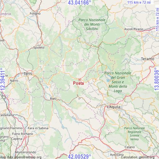
Posta GPS coordinates[2]
42° 31' 32.232" North, 13° 5' 50.028" East
| Map corner | latitude | longitude |
|---|---|---|
| Upper-left | 43.04166°, | 12.39411° |
| Center: | 42.52562°, | 13.09723° |
| Lower-right: | 42.00529°, | 13.80036° |
| Map W x H: | 115.2×115.2 km | = 71.6×71.6mi |
| max Lat: | 47.04031° ⇑66.1% North |
| Posta: | 42.52562° |
| min Lat: | ⇓33.9% South 35.50142° |
| min Long | Posta | max Long |
| 6.69888° | 13.09723° | 18.48682° |
| W 69.4%⇐ | ⇒30.6% E |
Elevation
Elevation of Posta is 726 m = 2382 ft, and this is 419.3 m = 1376 ft above average elevation for this country.
| Max E: |
2085 m = 6841 ft | 9.8% |
| Posta | 726 m 2382 ft | |
| Avg. | 306.7 m = 1006 ft | |
Min E: |
-4 m = -13 ft | 90.2% |
See also: Italy elevation on elevation.city.
Geographical zone
Posta is located in North temperate zone (between Tropic of Cancer and the Arctic Circle). Distance of this Northern Tropic circle is 2122.5 km =1318.9 mi to South.| Distance of | km | miles | from Posta |
|---|---|---|---|
| North Pole | 5278.7 | 3280 | to North |
| Arctic Circle | 2672.8 | 1660.8 | to North |
| Tropic Cancer | 2122.5 | 1318.9 | to South |
| Equator | 4728.4 | 2938.1 | to South |


Nearby cities:
15 places around Posta: (largest is in red/bold)
• Antrodoco
12.4 km =7.7 mi,  187°
187°
• Barete
17.2 km =10.7 mi,  119°
119°
• Borbona
3.4 km =2.1 mi, 122°
• Borgo Velino
13.8 km =8.6 mi, 193°
• Cagnano Amiterno
13.1 km =8.1 mi,  125°
125°
• Cantalice
17.2 km =10.7 mi,  246°
246°
• Capitignano
16.7 km =10.4 mi,  91°
91°
• Castel Sant'Angelo
15.7 km =9.8 mi,  201°
201°
• Cittareale
11.2 km =7 mi,  26°
26°
• Leonessa
12.2 km =7.6 mi,  293°
293°
• Marana
10.8 km =6.7 mi,  107°
107°
• Micigliano
8.9 km =5.5 mi, 203°
• Montereale
12.2 km =7.6 mi, 91°
• Poggio Bustone
17.6 km =10.9 mi,  261°
261°
• Santa Croce
16.3 km =10.1 mi, 246°
Sources, notices
• [Note1] Compared only with cities in Italy existing in our database
• [Src1] Map data: © OpenStreetMap contributors (CC-BY-SA)
• [Src2] Other city data from geonames.org with taken over terms of usage.
• [Src3] Geographical zone / Annual Mean Temperature by Robert A. Rohde @ Wikipedia
