Pianillo geodata
Pianillo (Campania) is a seat of a third-order administrative division; located in Italy in Europe/Rome (GMT+2) time zone. With population of 7,253 people, there are 1342 cities with bigger population in this country. Compared to other cities in Italy, 83.1% of cities are located further ↑North; 83.2% of cities are located further ←West and 83.6% of cities have lower elevation than Pianillo. Note1


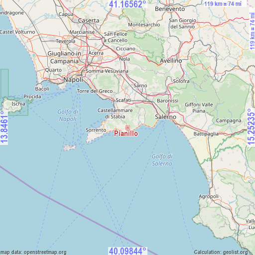
Pianillo GPS coordinates[2]
40° 38' 2.976" North, 14° 32' 57.192" East
| Map corner | latitude | longitude |
|---|---|---|
| Upper-left | 41.16562°, | 13.8461° |
| Center: | 40.63416°, | 14.54922° |
| Lower-right: | 40.09844°, | 15.25235° |
| Map W x H: | 118.7×118.7 km | = 73.8×73.8mi |
| max Lat: | 47.04031° ⇑83.1% North |
| Pianillo: | 40.63416° |
| min Lat: | ⇓16.9% South 35.50142° |
| min Long | Pianillo | max Long |
| 6.69888° | 14.54922° | 18.48682° |
| W 83.2%⇐ | ⇒16.8% E |
Elevation
Elevation of Pianillo is 585 m = 1919 ft, and this is 278.3 m = 913 ft above average elevation for this country.
| Max E: |
2085 m = 6841 ft | 16.4% |
| Pianillo | 585 m 1919 ft | |
| Avg. | 306.7 m = 1006 ft | |
Min E: |
-4 m = -13 ft | 83.6% |
See also: Italy elevation on elevation.city.
Geographical zone
Pianillo is located in North temperate zone (between Tropic of Cancer and the Arctic Circle). Distance of this Northern Tropic circle is 1912.2 km =1188.2 mi to South.| Distance of | km | miles | from Pianillo |
|---|---|---|---|
| North Pole | 5489 | 3410.7 | to North |
| Arctic Circle | 2883.1 | 1791.5 | to North |
| Tropic Cancer | 1912.2 | 1188.2 | to South |
| Equator | 4518.1 | 2807.4 | to South |


Nearby cities:
15 places around Pianillo: (largest is in red/bold)
• Agerola
1 km =0.6 mi,  294°
294°
• Amalfi
4.5 km =2.8 mi,  88°
88°
• Atrani
5.1 km =3.2 mi, 87°
• Conca dei Marini
2.7 km =1.7 mi,  132°
132°
• Franche
4.8 km =3 mi,  330°
330°
• Furore
1.5 km =0.9 mi,  180°
180°
• Gragnano
6.6 km =4.1 mi,  338°
338°
• Montepertuso
4.8 km =3 mi,  267°
267°
• Piazza-Tralia-Pendolo
5.8 km =3.6 mi,  319°
319°
• Pimonte
5.5 km =3.4 mi, 322°
• Positano
5.5 km =3.4 mi,  263°
263°
• Praiano
3.2 km =2 mi,  220°
220°
• Ravello
5.5 km =3.4 mi,  72°
72°
• San Michele
1.6 km =1 mi, 177°
• Scala
5.5 km =3.4 mi,  63°
63°
Sources, notices
• [Note1] Compared only with cities in Italy existing in our database
• [Src1] Map data: © OpenStreetMap contributors (CC-BY-SA)
• [Src2] Other city data from geonames.org with taken over terms of usage.
• [Src3] Geographical zone / Annual Mean Temperature by Robert A. Rohde @ Wikipedia
