Montecalvoli geodata
Montecalvoli (Tuscany) is a populated place; located in Italy in Europe/Rome (GMT+2) time zone. With population of 3,171 people, there are 2914 cities with bigger population in this country. Compared to other cities in Italy, 58.3% of cities are located further ↑North; 61.3% of cities are located further →East and 90.6% of cities have higher elevation than Montecalvoli. Note1


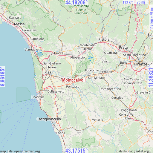
Montecalvoli GPS coordinates[2]
43° 41' 8.736" North, 10° 39' 54.288" East
| Map corner | latitude | longitude |
|---|---|---|
| Upper-left | 44.19206°, | 9.96195° |
| Center: | 43.68576°, | 10.66508° |
| Lower-right: | 43.17515°, | 11.36821° |
| Map W x H: | 113.1×113.1 km | = 70.3×70.3mi |
| max Lat: | 47.04031° ⇑58.3% North |
| Montecalvoli: | 43.68576° |
| min Lat: | ⇓41.7% South 35.50142° |
| min Long | Montecalvoli | max Long |
| 6.69888° | 10.66508° | 18.48682° |
| W 38.7%⇐ | ⇒61.3% E |
Elevation
Elevation of Montecalvoli is 17 m = 56 ft, and this is 289.7 m = 950 ft below average elevation for this country.
| Max E: |
2085 m = 6841 ft | 90.6% |
| Avg. | 306.7 m = 1006 ft | |
| Montecalvoli | 17 m = 56 ft | |
Min E: |
-4 m = -13 ft | 9.4% |
See also: Italy elevation on elevation.city.
Geographical zone
Montecalvoli is located in North temperate zone (between Tropic of Cancer and the Arctic Circle). Distance of this Northern Tropic circle is 2251.5 km =1399 mi to South.| Distance of | km | miles | from Montecalvoli |
|---|---|---|---|
| North Pole | 5149.7 | 3199.9 | to North |
| Arctic Circle | 2543.8 | 1580.6 | to North |
| Tropic Cancer | 2251.5 | 1399 | to South |
| Equator | 4857.4 | 3018.2 | to South |


Nearby cities:
15 places around Montecalvoli: (largest is in red/bold)
• Bientina
4.3 km =2.7 mi,  305°
305°
• Calcinaia
3.9 km =2.4 mi,  266°
266°
• Cascine-La Croce
6.3 km =3.9 mi,  319°
319°
• Castel del Bosco
3.5 km =2.2 mi,  127°
127°
• Cerretti
5.1 km =3.2 mi,  32°
32°
• Chiesino-Collodi
4.4 km =2.7 mi,  260°
260°
• Il Romito
4.4 km =2.7 mi,  201°
201°
• La Borra
5.6 km =3.5 mi,  211°
211°
• La Rotta
3.2 km =2 mi,  160°
160°
• Pontedera
3.9 km =2.4 mi,  225°
225°
• Quattro Strade
2.7 km =1.7 mi,  348°
348°
• San Donato
2.3 km =1.4 mi,  117°
117°
• Santa Lucia
6.3 km =3.9 mi,  222°
222°
• Santa Maria a Monte
3.3 km =2.1 mi,  41°
41°
• Val di Cava
5.4 km =3.4 mi,  193°
193°
Sources, notices
• [Note1] Compared only with cities in Italy existing in our database
• [Src1] Map data: © OpenStreetMap contributors (CC-BY-SA)
• [Src2] Other city data from geonames.org with taken over terms of usage.
• [Src3] Geographical zone / Annual Mean Temperature by Robert A. Rohde @ Wikipedia
