Ruffrè geodata
Ruffrè (Trentino-Alto Adige) is a seat of a third-order administrative division; located in Italy in Europe/Rome (GMT+2) time zone. With population of 336 people, there are 10528 cities with bigger population in this country. Compared to other cities in Italy, 97.8% of cities are located further ↓South; 54.7% of cities are located further →East and 98.6% of cities have lower elevation than Ruffrè. Note1
Administrative division(s):
- Level 1: Trentino-Alto Adige
- Level 2: Provincia autonoma di Trento
- Level 3: Ruffrè-Mendola


Ruffrè GPS coordinates[2]
46° 24' 53.316" North, 11° 10' 39.972" East
| Map corner | latitude | longitude |
|---|---|---|
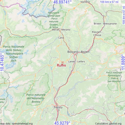
| Upper-left | 46.89741°, | 10.47465° |
| Center: | 46.41481°, | 11.17777° |
| Lower-right: | 45.9279°, | 11.8809° |
| Map W x H: | 107.8×107.8 km | = 67×67mi |
| max Lat: | 47.04031° ⇑2.2% North |
| Ruffrè: | 46.41481° |
| min Lat: | ⇓97.8% South 35.50142° |
| min Long | Ruffrè | max Long |
| 6.69888° | 11.17777° | 18.48682° |
| W 45.3%⇐ | ⇒54.7% E |
Elevation
Elevation of Ruffrè is 1202 m = 3944 ft, and this is 895.3 m = 2937 ft above average elevation for this country.
| Max E: |
2085 m = 6841 ft | 1.4% |
| Ruffrè | 1202 m 3944 ft | |
| Avg. | 306.7 m = 1006 ft | |
Min E: |
-4 m = -13 ft | 98.6% |
See also: Italy elevation on elevation.city.
Geographical zone
Ruffrè is located in North temperate zone (between Tropic of Cancer and the Arctic Circle). Distance of this North polar circle is 2240.3 km =1392.1 mi to North.| Distance of | km | miles | from Ruffrè |
|---|---|---|---|
| North Pole | 4846.2 | 3011.3 | to North |
| Arctic Circle | 2240.3 | 1392.1 | to North |
| Tropic Cancer | 2554.9 | 1587.5 | to South |
| Equator | 5160.8 | 3206.8 | to South |


Nearby cities:
15 places around Ruffrè: (largest is in red/bold)
• Amblar
3.2 km =2 mi,  227°
227°
• Brez
5.8 km =3.6 mi,  289°
289°
• Caldaro sulla Strada del Vino
5.2 km =3.2 mi,  91°
91°
• Castelfondo
6.5 km =4 mi,  315°
315°
• Cavareno
3 km =1.9 mi,  255°
255°
• Cloz
7 km =4.3 mi,  271°
271°
• Dambel
6.6 km =4.1 mi, 260°
• Don
4.3 km =2.7 mi, 228°
• Fondo
4.1 km =2.5 mi,  310°
310°
• Malosco
3.4 km =2.1 mi, 314°
• Romallo
8.8 km =5.5 mi, 257°
• Romeno
5 km =3.1 mi,  243°
243°
• Ronzone
2.2 km =1.4 mi,  298°
298°
• San Michele
7.8 km =4.8 mi,  55°
55°
• Sarnonico
2.8 km =1.7 mi,  280°
280°
Sources, notices
• [Note1] Compared only with cities in Italy existing in our database
• [Src1] Map data: © OpenStreetMap contributors (CC-BY-SA)
• [Src2] Other city data from geonames.org with taken over terms of usage.
• [Src3] Geographical zone / Annual Mean Temperature by Robert A. Rohde @ Wikipedia
