Flero geodata
Flero (Lombardy) is a seat of a third-order administrative division; located in Italy in Europe/Rome (GMT+2) time zone. With population of 7,389 people, there are 1319 cities with bigger population in this country. Compared to other cities in Italy, 73% of cities are located further ↓South; 66.2% of cities are located further →East and 68.6% of cities have higher elevation than Flero. Note1


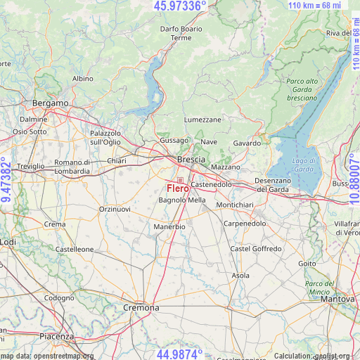
Flero GPS coordinates[2]
45° 28' 57.144" North, 10° 10' 36.984" East
| Map corner | latitude | longitude |
|---|---|---|
| Upper-left | 45.97336°, | 9.47382° |
| Center: | 45.48254°, | 10.17694° |
| Lower-right: | 44.9874°, | 10.88007° |
| Map W x H: | 109.6×109.6 km | = 68.1×68.1mi |
| max Lat: | 47.04031° ⇑27% North |
| Flero: | 45.48254° |
| min Lat: | ⇓73% South 35.50142° |
| min Long | Flero | max Long |
| 6.69888° | 10.17694° | 18.48682° |
| W 33.8%⇐ | ⇒66.2% E |
Elevation
Elevation of Flero is 105 m = 344 ft, and this is 201.7 m = 662 ft below average elevation for this country.
| Max E: |
2085 m = 6841 ft | 68.6% |
| Avg. | 306.7 m = 1006 ft | |
| Flero | 105 m = 344 ft | |
Min E: |
-4 m = -13 ft | 31.4% |
See also: Italy elevation on elevation.city.
Geographical zone
Flero is located in North temperate zone (between Tropic of Cancer and the Arctic Circle). Distance of this North polar circle is 2344 km =1456.5 mi to North.| Distance of | km | miles | from Flero |
|---|---|---|---|
| North Pole | 4949.9 | 3075.7 | to North |
| Arctic Circle | 2344 | 1456.5 | to North |
| Tropic Cancer | 2451.3 | 1523.2 | to South |
| Equator | 5057.2 | 3142.4 | to South |


Nearby cities:
15 places around Flero: (largest is in red/bold)
• Azzano Mella
5.6 km =3.5 mi,  236°
236°
• Bagnolo Mella
6.1 km =3.8 mi,  173°
173°
• Bettole
7.3 km =4.5 mi,  83°
83°
• Borgosatollo
5 km =3.1 mi,  97°
97°
• Brescia
6.6 km =4.1 mi,  26°
26°
• Capodimonte
7.1 km =4.4 mi, 103°
• Capriano del Colle
3.6 km =2.2 mi,  256°
256°
• Castel Mella
3.1 km =1.9 mi,  306°
306°
• Folzano
2.7 km =1.7 mi,  57°
57°
• Montirone
5.7 km =3.5 mi,  134°
134°
• Poncarale
2.4 km =1.5 mi, 174°
• Roncadelle
5.3 km =3.3 mi,  340°
340°
• San Zeno Naviglio
3.4 km =2.1 mi,  70°
70°
• Torbole Casaglia
5.8 km =3.6 mi, 305°
• Zerbino
1.5 km =0.9 mi,  324°
324°
Sources, notices
• [Note1] Compared only with cities in Italy existing in our database
• [Src1] Map data: © OpenStreetMap contributors (CC-BY-SA)
• [Src2] Other city data from geonames.org with taken over terms of usage.
• [Src3] Geographical zone / Annual Mean Temperature by Robert A. Rohde @ Wikipedia
