Cercemaggiore geodata
Cercemaggiore (Molise) is a seat of a third-order administrative division; located in Italy in Europe/Rome (GMT+2) time zone. With population of 968 people, there are 6782 cities with bigger population in this country. Compared to other cities in Italy, 75.1% of cities are located further ↑North; 84.7% of cities are located further ←West and 96.3% of cities have lower elevation than Cercemaggiore. Note1


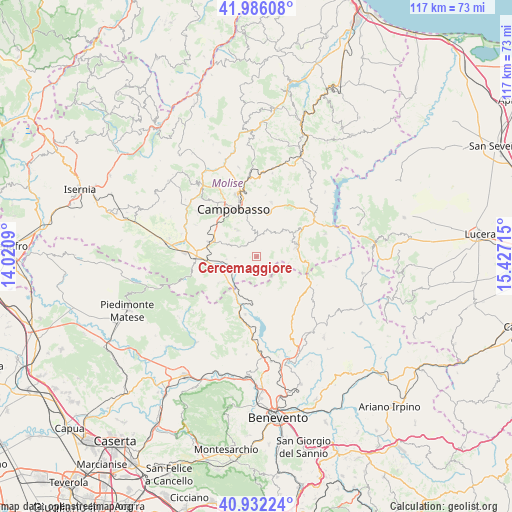
Cercemaggiore GPS coordinates[2]
41° 27' 40.68" North, 14° 43' 26.472" East
| Map corner | latitude | longitude |
|---|---|---|
| Upper-left | 41.98608°, | 14.0209° |
| Center: | 41.4613°, | 14.72402° |
| Lower-right: | 40.93224°, | 15.42715° |
| Map W x H: | 117.2×117.2 km | = 72.8×72.8mi |
| max Lat: | 47.04031° ⇑75.1% North |
| Cercemaggiore: | 41.4613° |
| min Lat: | ⇓24.9% South 35.50142° |
| min Long | Cercemaggiore | max Long |
| 6.69888° | 14.72402° | 18.48682° |
| W 84.7%⇐ | ⇒15.3% E |
Elevation
Elevation of Cercemaggiore is 952 m = 3123 ft, and this is 645.3 m = 2117 ft above average elevation for this country.
| Max E: |
2085 m = 6841 ft | 3.7% |
| Cercemaggiore | 952 m 3123 ft | |
| Avg. | 306.7 m = 1006 ft | |
Min E: |
-4 m = -13 ft | 96.3% |
See also: Italy elevation on elevation.city.
Geographical zone
Cercemaggiore is located in North temperate zone (between Tropic of Cancer and the Arctic Circle). Distance of this Northern Tropic circle is 2004.1 km =1245.3 mi to South.| Distance of | km | miles | from Cercemaggiore |
|---|---|---|---|
| North Pole | 5397 | 3353.5 | to North |
| Arctic Circle | 2791.1 | 1734.3 | to North |
| Tropic Cancer | 2004.1 | 1245.3 | to South |
| Equator | 4610.1 | 2864.6 | to South |


Nearby cities:
15 places around Cercemaggiore: (largest is in red/bold)
• Campobasso
11.9 km =7.4 mi,  336°
336°
• Campodipietra
10.8 km =6.7 mi,  9°
9°
• Castelpagano
9.6 km =6 mi,  133°
133°
• Cercepiccola
4.9 km =3 mi,  268°
268°
• Ferrazzano
8.8 km =5.5 mi,  330°
330°
• Gildone
5.5 km =3.4 mi, 14°
• Jelsi
8.7 km =5.4 mi,  44°
44°
• Mimosa-Poggio Verde-Nuova Comunità
9.8 km =6.1 mi, 331°
• Mirabello Sannitico
7.4 km =4.6 mi, 325°
• Riccia
9.3 km =5.8 mi,  74°
74°
• San Giuliano del Sannio
6.9 km =4.3 mi, 266°
• Santa Croce del Sannio
8.2 km =5.1 mi,  175°
175°
• Sassinoro
10.8 km =6.7 mi,  207°
207°
• Sepino
10.6 km =6.6 mi,  235°
235°
• Vinchiaturo
11.5 km =7.1 mi,  287°
287°
Sources, notices
• [Note1] Compared only with cities in Italy existing in our database
• [Src1] Map data: © OpenStreetMap contributors (CC-BY-SA)
• [Src2] Other city data from geonames.org with taken over terms of usage.
• [Src3] Geographical zone / Annual Mean Temperature by Robert A. Rohde @ Wikipedia
