Castelpagano geodata
Castelpagano (Campania) is a seat of a third-order administrative division; located in Italy in Europe/Rome (GMT+2) time zone. With population of 440 people, there are 10128 cities with bigger population in this country. Compared to other cities in Italy, 75.5% of cities are located further ↑North; 85.5% of cities are located further ←West and 86.9% of cities have lower elevation than Castelpagano. Note1


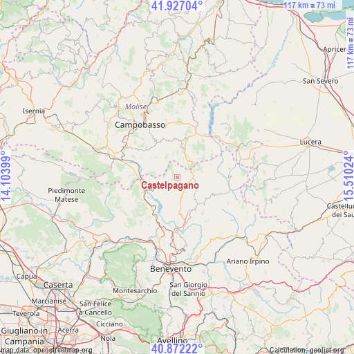
Castelpagano GPS coordinates[2]
41° 24' 6.372" North, 14° 48' 25.596" East
| Map corner | latitude | longitude |
|---|---|---|
| Upper-left | 41.92704°, | 14.10399° |
| Center: | 41.40177°, | 14.80711° |
| Lower-right: | 40.87222°, | 15.51024° |
| Map W x H: | 117.3×117.3 km | = 72.9×72.9mi |
| max Lat: | 47.04031° ⇑75.5% North |
| Castelpagano: | 41.40177° |
| min Lat: | ⇓24.5% South 35.50142° |
| min Long | Castelpagano | max Long |
| 6.69888° | 14.80711° | 18.48682° |
| W 85.5%⇐ | ⇒14.5% E |
Elevation
Elevation of Castelpagano is 649 m = 2129 ft, and this is 342.3 m = 1123 ft above average elevation for this country.
| Max E: |
2085 m = 6841 ft | 13.1% |
| Castelpagano | 649 m 2129 ft | |
| Avg. | 306.7 m = 1006 ft | |
Min E: |
-4 m = -13 ft | 86.9% |
See also: Italy elevation on elevation.city.
Geographical zone
Castelpagano is located in North temperate zone (between Tropic of Cancer and the Arctic Circle). Distance of this Northern Tropic circle is 1997.5 km =1241.2 mi to South.| Distance of | km | miles | from Castelpagano |
|---|---|---|---|
| North Pole | 5403.6 | 3357.6 | to North |
| Arctic Circle | 2797.7 | 1738.4 | to North |
| Tropic Cancer | 1997.5 | 1241.2 | to South |
| Equator | 4603.4 | 2860.4 | to South |


Nearby cities:
15 places around Castelpagano: (largest is in red/bold)
• Baselice
13.9 km =8.6 mi,  94°
94°
• Campolattaro
14.3 km =8.9 mi,  206°
206°
• Castelvetere in Val Fortore
12.1 km =7.5 mi,  67°
67°
• Cercemaggiore
9.6 km =6 mi,  313°
313°
• Cercepiccola
13.5 km =8.4 mi,  298°
298°
• Circello
5.3 km =3.3 mi,  178°
178°
• Colle Sannita
4.8 km =3 mi,  151°
151°
• Gildone
13.2 km =8.2 mi,  334°
334°
• Jelsi
12.8 km =8 mi,  356°
356°
• Morcone
13.3 km =8.3 mi,  240°
240°
• Reino
12.3 km =7.6 mi,  173°
173°
• Riccia
9.3 km =5.8 mi,  12°
12°
• San Marco dei Cavoti
12 km =7.5 mi, 149°
• Santa Croce del Sannio
6.4 km =4 mi,  256°
256°
• Sassinoro
12.3 km =7.6 mi, 255°
Sources, notices
• [Note1] Compared only with cities in Italy existing in our database
• [Src1] Map data: © OpenStreetMap contributors (CC-BY-SA)
• [Src2] Other city data from geonames.org with taken over terms of usage.
• [Src3] Geographical zone / Annual Mean Temperature by Robert A. Rohde @ Wikipedia
