Aradeo geodata
Aradeo (Apulia) is a seat of a third-order administrative division; located in Italy in Europe/Rome (GMT+2) time zone. With population of 9,570 people, there are 987 cities with bigger population in this country. Compared to other cities in Italy, 86.9% of cities are located further ↑North; 99.2% of cities are located further ←West and 74% of cities have higher elevation than Aradeo. Note1


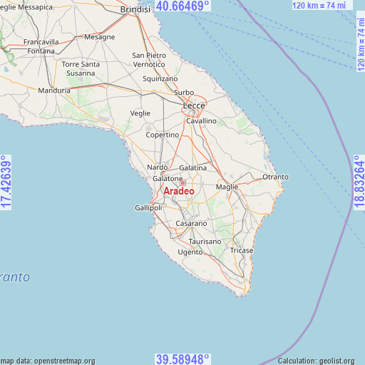
Aradeo GPS coordinates[2]
40° 7' 45.156" North, 18° 7' 46.236" East
| Map corner | latitude | longitude |
|---|---|---|
| Upper-left | 40.66469°, | 17.42639° |
| Center: | 40.12921°, | 18.12951° |
| Lower-right: | 39.58948°, | 18.83264° |
| Map W x H: | 119.6×119.6 km | = 74.3×74.3mi |
| max Lat: | 47.04031° ⇑86.9% North |
| Aradeo: | 40.12921° |
| min Lat: | ⇓13.1% South 35.50142° |
| min Long | Aradeo | max Long |
| 6.69888° | 18.12951° | 18.48682° |
| W 99.2%⇐ | ⇒0.8% E |
Elevation
Elevation of Aradeo is 78 m = 256 ft, and this is 228.7 m = 750 ft below average elevation for this country.
| Max E: |
2085 m = 6841 ft | 74% |
| Avg. | 306.7 m = 1006 ft | |
| Aradeo | 78 m = 256 ft | |
Min E: |
-4 m = -13 ft | 26% |
See also: Italy elevation on elevation.city.
Geographical zone
Aradeo is located in North temperate zone (between Tropic of Cancer and the Arctic Circle). Distance of this Northern Tropic circle is 1856 km =1153.3 mi to South.| Distance of | km | miles | from Aradeo |
|---|---|---|---|
| North Pole | 5545.1 | 3445.6 | to North |
| Arctic Circle | 2939.2 | 1826.3 | to North |
| Tropic Cancer | 1856 | 1153.3 | to South |
| Equator | 4461.9 | 2772.5 | to South |


Nearby cities:
15 places around Aradeo: (largest is in red/bold)
• Alezio
9.7 km =6 mi,  219°
219°
• Chiesanuova
7.8 km =4.8 mi,  233°
233°
• Collemeto
9.1 km =5.7 mi,  345°
345°
• Collepasso
7 km =4.3 mi,  156°
156°
• Cutrofiano
6.2 km =3.9 mi,  93°
93°
• Galatina
6.1 km =3.8 mi,  34°
34°
• Galatone
5.5 km =3.4 mi,  290°
290°
• Neviano
2.8 km =1.7 mi,  205°
205°
• Noha
4.1 km =2.5 mi,  49°
49°
• Parabita
8.7 km =5.4 mi,  181°
181°
• Sannicola
6.7 km =4.2 mi, 232°
• Seclì
2.1 km =1.3 mi,  236°
236°
• Sogliano Cavour
6.1 km =3.8 mi,  69°
69°
• Soleto
9.2 km =5.7 mi, 45°
• Tuglie
6.7 km =4.2 mi,  202°
202°
Sources, notices
• [Note1] Compared only with cities in Italy existing in our database
• [Src1] Map data: © OpenStreetMap contributors (CC-BY-SA)
• [Src2] Other city data from geonames.org with taken over terms of usage.
• [Src3] Geographical zone / Annual Mean Temperature by Robert A. Rohde @ Wikipedia
