Cino geodata
Cino (Lombardy) is a seat of a third-order administrative division; located in Italy in Europe/Rome (GMT+2) time zone. With population of 361 people, there are 10435 cities with bigger population in this country. Compared to other cities in Italy, 95.2% of cities are located further ↓South; 73.4% of cities are located further →East and 78% of cities have lower elevation than Cino. Note1


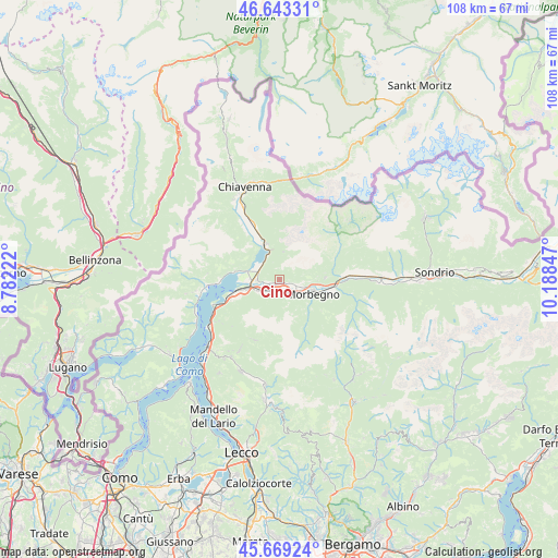
Cino GPS coordinates[2]
46° 9' 30.348" North, 9° 29' 7.224" East
| Map corner | latitude | longitude |
|---|---|---|
| Upper-left | 46.64331°, | 8.78222° |
| Center: | 46.15843°, | 9.48534° |
| Lower-right: | 45.66924°, | 10.18847° |
| Map W x H: | 108.3×108.3 km | = 67.3×67.3mi |
| max Lat: | 47.04031° ⇑4.8% North |
| Cino: | 46.15843° |
| min Lat: | ⇓95.2% South 35.50142° |
| min Long | Cino | max Long |
| 6.69888° | 9.48534° | 18.48682° |
| W 26.6%⇐ | ⇒73.4% E |
Elevation
Elevation of Cino is 492 m = 1614 ft, and this is 185.3 m = 608 ft above average elevation for this country.
| Max E: |
2085 m = 6841 ft | 22% |
| Cino | 492 m 1614 ft | |
| Avg. | 306.7 m = 1006 ft | |
Min E: |
-4 m = -13 ft | 78% |
See also: Italy elevation on elevation.city.
Geographical zone
Cino is located in North temperate zone (between Tropic of Cancer and the Arctic Circle). Distance of this North polar circle is 2268.8 km =1409.8 mi to North.| Distance of | km | miles | from Cino |
|---|---|---|---|
| North Pole | 4874.7 | 3029 | to North |
| Arctic Circle | 2268.8 | 1409.8 | to North |
| Tropic Cancer | 2526.4 | 1569.8 | to South |
| Equator | 5132.3 | 3189.1 | to South |


Nearby cities:
15 places around Cino: (largest is in red/bold)
• Andalo Valtellino
2.6 km =1.6 mi,  199°
199°
• Cercino
1.8 km =1.1 mi,  91°
91°
• Cosio Valtellino
5.7 km =3.5 mi,  116°
116°
• Delebio
3.1 km =1.9 mi,  216°
216°
• Dubino
4.3 km =2.7 mi,  282°
282°
• Mantello
0.7 km =0.4 mi,  157°
157°
• Mello
4.8 km =3 mi, 94°
• Morbegno
7.2 km =4.5 mi,  109°
109°
• Novate Mezzola
7.3 km =4.5 mi,  337°
337°
• Piantedo
5.1 km =3.2 mi,  241°
241°
• Piussogno
1.8 km =1.1 mi, 113°
• Regoledo
5.4 km =3.4 mi, 121°
• Rogolo
2.4 km =1.5 mi,  180°
180°
• Traona
3.8 km =2.4 mi, 108°
• Verceia
5.1 km =3.2 mi,  332°
332°
Sources, notices
• [Note1] Compared only with cities in Italy existing in our database
• [Src1] Map data: © OpenStreetMap contributors (CC-BY-SA)
• [Src2] Other city data from geonames.org with taken over terms of usage.
• [Src3] Geographical zone / Annual Mean Temperature by Robert A. Rohde @ Wikipedia
