Brovello-Carpugnino geodata
Brovello-Carpugnino (Piedmont) is a seat of a third-order administrative division; located in Italy in Europe/Rome (GMT+2) time zone. With population of 546 people, there are 9490 cities with bigger population in this country. Compared to other cities in Italy, 87.4% of cities are located further ↓South; 87.6% of cities are located further →East and 74.9% of cities have lower elevation than Brovello-Carpugnino. Note1
Administrative division(s):
- Level 1: Piedmont
- Level 2: Provincia Verbano-Cusio-Ossola
- Level 3: Brovello-Carpugnino


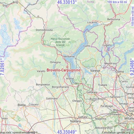
Brovello-Carpugnino GPS coordinates[2]
45° 50' 32.892" North, 8° 31' 54.228" East
| Map corner | latitude | longitude |
|---|---|---|
| Upper-left | 46.33013°, | 7.82861° |
| Center: | 45.84247°, | 8.53173° |
| Lower-right: | 45.35049°, | 9.23486° |
| Map W x H: | 108.9×108.9 km | = 67.7×67.7mi |
| max Lat: | 47.04031° ⇑12.6% North |
| Brovello-Carpugnino: | 45.84247° |
| min Lat: | ⇓87.4% South 35.50142° |
| min Long | Brovello-Carpug | max Long |
| 6.69888° | 8.53173° | 18.48682° |
| W 12.4%⇐ | ⇒87.6% E |
Elevation
Elevation of Brovello-Carpugnino is 450 m = 1476 ft, and this is 143.3 m = 470 ft above average elevation for this country.
| Max E: |
2085 m = 6841 ft | 25.1% |
| Brovello-Carpugnino | 450 m 1476 ft | |
| Avg. | 306.7 m = 1006 ft | |
Min E: |
-4 m = -13 ft | 74.9% |
See also: Italy elevation on elevation.city.
Geographical zone
Brovello-Carpugnino is located in North temperate zone (between Tropic of Cancer and the Arctic Circle). Distance of this North polar circle is 2304 km =1431.6 mi to North.| Distance of | km | miles | from Brovello-Carpugnino |
|---|---|---|---|
| North Pole | 4909.9 | 3050.9 | to North |
| Arctic Circle | 2304 | 1431.6 | to North |
| Tropic Cancer | 2491.3 | 1548 | to South |
| Equator | 5097.2 | 3167.3 | to South |


Nearby cities:
15 places around Brovello-Carpugnino: (largest is in red/bold)
• Armeno
7.1 km =4.4 mi,  250°
250°
• Belgirate
3 km =1.9 mi,  92°
92°
• Brovello
0 km =0 mi,  95°
95°
• Colazza
6.1 km =3.8 mi,  203°
203°
• Dagnente
6.7 km =4.2 mi,  177°
177°
• Ghevio
7.1 km =4.4 mi, 198°
• Gignese
2.9 km =1.8 mi,  324°
324°
• Ispra
7 km =4.3 mi,  116°
116°
• Lesa
3.2 km =2 mi,  138°
138°
• Massino Visconti
2.2 km =1.4 mi,  159°
159°
• Meina
5.7 km =3.5 mi, 175°
• Nebbiuno
3.9 km =2.4 mi,  186°
186°
• Pisano
5.4 km =3.4 mi, 194°
• Ranco
5.9 km =3.7 mi,  148°
148°
• Stresa
4.4 km =2.7 mi,  6°
6°
Sources, notices
• [Note1] Compared only with cities in Italy existing in our database
• [Src1] Map data: © OpenStreetMap contributors (CC-BY-SA)
• [Src2] Other city data from geonames.org with taken over terms of usage.
• [Src3] Geographical zone / Annual Mean Temperature by Robert A. Rohde @ Wikipedia
