Pila geodata
Pila (Piedmont) is a seat of a third-order administrative division; located in Italy in Europe/Rome (GMT+2) time zone. With population of 51 people, there are 11598 cities with bigger population in this country. Compared to other cities in Italy, 84.4% of cities are located further ↓South; 92.5% of cities are located further →East and 89.1% of cities have lower elevation than Pila. Note1


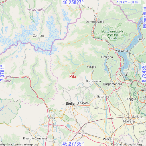
Pila GPS coordinates[2]
45° 46' 11.892" North, 8° 4' 52.392" East
| Map corner | latitude | longitude |
|---|---|---|
| Upper-left | 46.25827°, | 7.3781° |
| Center: | 45.76997°, | 8.08122° |
| Lower-right: | 45.27735°, | 8.78435° |
| Map W x H: | 109.1×109.1 km | = 67.8×67.8mi |
| max Lat: | 47.04031° ⇑15.6% North |
| Pila: | 45.76997° |
| min Lat: | ⇓84.4% South 35.50142° |
| min Long | Pila | max Long |
| 6.69888° | 8.08122° | 18.48682° |
| W 7.5%⇐ | ⇒92.5% E |
Elevation
Elevation of Pila is 697 m = 2287 ft, and this is 390.3 m = 1281 ft above average elevation for this country.
| Max E: |
2085 m = 6841 ft | 10.9% |
| Pila | 697 m 2287 ft | |
| Avg. | 306.7 m = 1006 ft | |
Min E: |
-4 m = -13 ft | 89.1% |
See also: Italy elevation on elevation.city.
Geographical zone
Pila is located in North temperate zone (between Tropic of Cancer and the Arctic Circle). Distance of this North polar circle is 2312 km =1436.6 mi to North.| Distance of | km | miles | from Pila |
|---|---|---|---|
| North Pole | 4917.9 | 3055.8 | to North |
| Arctic Circle | 2312 | 1436.6 | to North |
| Tropic Cancer | 2483.2 | 1543 | to South |
| Equator | 5089.1 | 3162.2 | to South |


Nearby cities:
15 places around Pila: (largest is in red/bold)
• Balmuccia
7.1 km =4.4 mi,  40°
40°
• Boccioleto
7.2 km =4.5 mi,  20°
20°
• Campertogno
5 km =3.1 mi,  310°
310°
• Coggiola
12.2 km =7.6 mi,  139°
139°
• Cravagliana
12.8 km =8 mi,  47°
47°
• Mollia
6.5 km =4 mi,  322°
322°
• Piode
2.2 km =1.4 mi,  271°
271°
• Portula
12.7 km =7.9 mi,  146°
146°
• Rassa
5.4 km =3.4 mi, 267°
• Rimasco
10.1 km =6.3 mi,  352°
352°
• Riva Valdobbia
11.8 km =7.3 mi, 305°
• Rossa
7.8 km =4.8 mi,  25°
25°
• Scopa
3.6 km =2.2 mi, 44°
• Scopello
1.1 km =0.7 mi,  67°
67°
• Vocca
11.3 km =7 mi, 51°
Sources, notices
• [Note1] Compared only with cities in Italy existing in our database
• [Src1] Map data: © OpenStreetMap contributors (CC-BY-SA)
• [Src2] Other city data from geonames.org with taken over terms of usage.
• [Src3] Geographical zone / Annual Mean Temperature by Robert A. Rohde @ Wikipedia
