Lanzada geodata
Lanzada (Lombardy) is a seat of a third-order administrative division; located in Italy in Europe/Rome (GMT+2) time zone. With population of 1,365 people, there are 5455 cities with bigger population in this country. Compared to other cities in Italy, 96.6% of cities are located further ↓South; 69.2% of cities are located further →East and 96.7% of cities have lower elevation than Lanzada. Note1


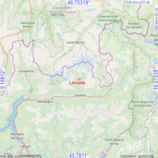
Lanzada GPS coordinates[2]
46° 16' 9.48" North, 9° 52' 9.3" East
| Map corner | latitude | longitude |
|---|---|---|
| Upper-left | 46.75319°, | 9.16612° |
| Center: | 46.2693°, | 9.86925° |
| Lower-right: | 45.7811°, | 10.57238° |
| Map W x H: | 108.1×108.1 km | = 67.2×67.2mi |
| max Lat: | 47.04031° ⇑3.4% North |
| Lanzada: | 46.2693° |
| min Lat: | ⇓96.6% South 35.50142° |
| min Long | Lanzada | max Long |
| 6.69888° | 9.86925° | 18.48682° |
| W 30.8%⇐ | ⇒69.2% E |
Elevation
Elevation of Lanzada is 979 m = 3212 ft, and this is 672.3 m = 2206 ft above average elevation for this country.
| Max E: |
2085 m = 6841 ft | 3.3% |
| Lanzada | 979 m 3212 ft | |
| Avg. | 306.7 m = 1006 ft | |
Min E: |
-4 m = -13 ft | 96.7% |
See also: Italy elevation on elevation.city.
Geographical zone
Lanzada is located in North temperate zone (between Tropic of Cancer and the Arctic Circle). Distance of this North polar circle is 2256.5 km =1402.1 mi to North.| Distance of | km | miles | from Lanzada |
|---|---|---|---|
| North Pole | 4862.4 | 3021.4 | to North |
| Arctic Circle | 2256.5 | 1402.1 | to North |
| Tropic Cancer | 2538.7 | 1577.5 | to South |
| Equator | 5144.7 | 3196.8 | to South |


Nearby cities:
15 places around Lanzada: (largest is in red/bold)
• Caspoggio
0.8 km =0.5 mi,  226°
226°
• Castione
12 km =7.5 mi,  206°
206°
• Castione Andevenno
12 km =7.5 mi, 206°
• Chiesa in Valmalenco
1.6 km =1 mi,  261°
261°
• Montagna in Valtellina
10.4 km =6.5 mi,  165°
165°
• Mossini
10 km =6.2 mi,  182°
182°
• Poggiridenti Alto
11.4 km =7.1 mi,  157°
157°
• Poggiridenti Piano
11.9 km =7.4 mi, 158°
• Ponchiera
9.8 km =6.1 mi, 178°
• Postalesio
12.8 km =8 mi, 213°
• Sondrio
11.2 km =7 mi, 179°
• Spriana
5.5 km =3.4 mi, 184°
• Torchione-Moia
12.7 km =7.9 mi, 183°
• Torre di Santa Maria
4.2 km =2.6 mi,  198°
198°
• Tresivio
11.8 km =7.3 mi,  151°
151°
Sources, notices
• [Note1] Compared only with cities in Italy existing in our database
• [Src1] Map data: © OpenStreetMap contributors (CC-BY-SA)
• [Src2] Other city data from geonames.org with taken over terms of usage.
• [Src3] Geographical zone / Annual Mean Temperature by Robert A. Rohde @ Wikipedia
