Spiano geodata
Spiano (Campania) is a populated place; located in Italy in Europe/Rome (GMT+2) time zone. With population of 694 people, there are 8339 cities with bigger population in this country. Compared to other cities in Italy, 81.8% of cities are located further ↑North; 84.9% of cities are located further ←West and 50.9% of cities have lower elevation than Spiano. Note1
Administrative division(s):
- Level 1: Campania
- Level 2: Provincia di Salerno
- Level 3: Mercato San Severino


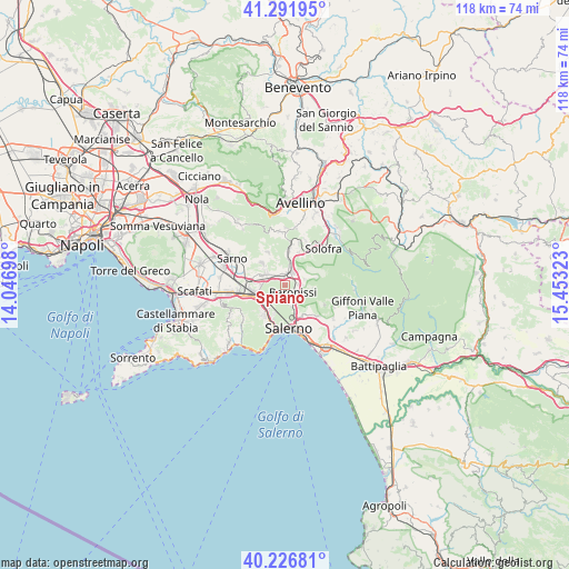
Spiano GPS coordinates[2]
40° 45' 41.436" North, 14° 45' 0.36" East
| Map corner | latitude | longitude |
|---|---|---|
| Upper-left | 41.29195°, | 14.04698° |
| Center: | 40.76151°, | 14.7501° |
| Lower-right: | 40.22681°, | 15.45323° |
| Map W x H: | 118.4×118.4 km | = 73.6×73.6mi |
| max Lat: | 47.04031° ⇑81.8% North |
| Spiano: | 40.76151° |
| min Lat: | ⇓18.2% South 35.50142° |
| min Long | Spiano | max Long |
| 6.69888° | 14.7501° | 18.48682° |
| W 84.9%⇐ | ⇒15.1% E |
Elevation
Elevation of Spiano is 240 m = 787 ft, and this is 66.7 m = 219 ft below average elevation for this country.
| Max E: |
2085 m = 6841 ft | 49.1% |
| Avg. | 306.7 m = 1006 ft | |
| Spiano | 240 m = 787 ft | |
Min E: |
-4 m = -13 ft | 50.9% |
See also: Italy elevation on elevation.city.
Geographical zone
Spiano is located in North temperate zone (between Tropic of Cancer and the Arctic Circle). Distance of this Northern Tropic circle is 1926.3 km =1196.9 mi to South.| Distance of | km | miles | from Spiano |
|---|---|---|---|
| North Pole | 5474.8 | 3401.9 | to North |
| Arctic Circle | 2868.9 | 1782.7 | to North |
| Tropic Cancer | 1926.3 | 1196.9 | to South |
| Equator | 4532.3 | 2816.2 | to South |


Nearby cities:
15 places around Spiano: (largest is in red/bold)
• Acquarola
2.2 km =1.4 mi,  290°
290°
• Antessano
3.9 km =2.4 mi,  144°
144°
• Baronissi
2.5 km =1.6 mi,  126°
126°
• Caprecano
4.1 km =2.5 mi,  123°
123°
• Capriglia
3.4 km =2.1 mi,  165°
165°
• Carifi-Torello-Priscoli
3.6 km =2.2 mi,  335°
335°
• Faraldo-Nocelleto
2.3 km =1.4 mi,  29°
29°
• Fisciano
3.9 km =2.4 mi,  73°
73°
• Lancusi-Penta-Bolano
3 km =1.9 mi,  90°
90°
• Le Selve
3 km =1.9 mi,  61°
61°
• Mercato San Severino
2.6 km =1.6 mi,  6°
6°
• Pellezzano
4.1 km =2.5 mi, 171°
• Piazza del Galdo-Sant'Angelo
3.1 km =1.9 mi,  296°
296°
• Pizzolano
3.6 km =2.2 mi,  48°
48°
• Soccorso
4.4 km =2.7 mi, 26°
Sources, notices
• [Note1] Compared only with cities in Italy existing in our database
• [Src1] Map data: © OpenStreetMap contributors (CC-BY-SA)
• [Src2] Other city data from geonames.org with taken over terms of usage.
• [Src3] Geographical zone / Annual Mean Temperature by Robert A. Rohde @ Wikipedia
