Ishikari geodata
Ishikari (Hokkaido) is a seat of a second-order administrative division; located in Japan in Asia/Tokyo (GMT+9) time zone. With population of 57,301 people, there are 338 cities with bigger population in this country. Compared to other cities in Japan, 97.7% of cities are located further ↓South; 95.4% of cities are located further ←West and 99.3% of cities have higher elevation than Ishikari. Note1


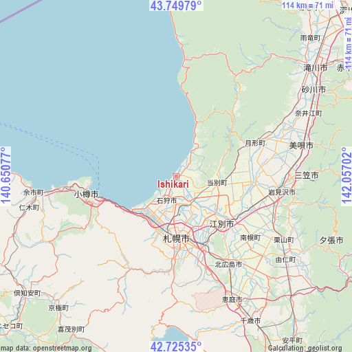
Ishikari GPS coordinates[2]
43° 14' 22.992" North, 141° 21' 14.004" East
| Map corner | latitude | longitude |
|---|---|---|
| Upper-left | 43.74979°, | 140.65077° |
| Center: | 43.23972°, | 141.35389° |
| Lower-right: | 42.72535°, | 142.05702° |
| Map W x H: | 113.9×113.9 km | = 70.8×70.8mi |
| max Lat: | 45.40944° ⇑2.3% North |
| Ishikari: | 43.23972° |
| min Lat: | ⇓97.7% South 24.34478° |
| min Long | Ishikari | max Long |
| 123° | 141.35389° | 145.575° |
| W 95.4%⇐ | ⇒4.6% E |
Elevation
Elevation of Ishikari is 0 m = 0 ft, and this is 84.6 m = 278 ft below average elevation for this country.
| Max E: |
1086 m = 3563 ft | 99.3% |
| Avg. | 84.6 m = 278 ft | |
| Ishikari | 0 m = 0 ft | |
Min E: |
-2 m = -7 ft | 0.7% |
See also: Ishikari elevation on elevation.city.
Geographical zone
Ishikari is located in North temperate zone (between Tropic of Cancer and the Arctic Circle). Distance of this Northern Tropic circle is 2201.9 km =1368.2 mi to South.| Distance of | km | miles | from Ishikari |
|---|---|---|---|
| North Pole | 5199.3 | 3230.7 | to North |
| Arctic Circle | 2593.4 | 1611.5 | to North |
| Tropic Cancer | 2201.9 | 1368.2 | to South |
| Equator | 4807.8 | 2987.4 | to South |


Nearby cities:
15 places around Ishikari: (largest is in red/bold)
• Bibai
41.9 km =26 mi,  76°
76°
• Chitose
52.6 km =32.7 mi,  152°
152°
• Ebetsu
21.6 km =13.4 mi,  132°
132°
• Eniwa
42.5 km =26.4 mi, 154°
• Iwamizawa
33.2 km =20.6 mi,  97°
97°
• Kitahiroshima
34.1 km =21.2 mi, 149°
• Mikasa
43.3 km =26.9 mi,  87°
87°
• Otaru
29 km =18 mi,  258°
258°
• Sapporo
19.2 km =11.9 mi,  180°
180°
• Sunagawa
52.4 km =32.6 mi,  58°
58°
• Takikawa
56.6 km =35.2 mi,  52°
52°
• Tōbetsu
13.5 km =8.4 mi, 100°
• Utashinai
64.1 km =39.8 mi, 61°
• Yoichi
47.5 km =29.5 mi,  265°
265°
• Yūbari
53.9 km =33.5 mi,  114°
114°
Sources, notices
• [Note1] Compared only with cities in Japan existing in our database
• [Src1] Map data: © OpenStreetMap contributors (CC-BY-SA)
• [Src2] Other city data from geonames.org with taken over terms of usage.
• [Src3] Geographical zone / Annual Mean Temperature by Robert A. Rohde @ Wikipedia
