Thpong geodata
Thpong (Kampong Speu) is a seat of a second-order administrative division; located in Cambodia in Asia/Phnom_Penh (GMT+7) time zone. In our database, there are 29 cities with bigger population. Compared to other cities in Cambodia, 59.1% of cities are located further ↑North; 56.1% of cities are located further →East and 82.6% of cities have lower elevation than Thpong. Note1


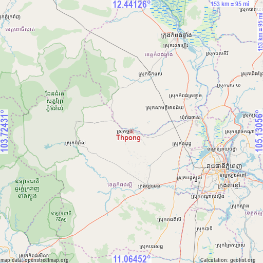
Thpong GPS coordinates[2]
11° 45' 13.5" North, 104° 25' 38.748" East
| Map corner | latitude | longitude |
|---|---|---|
| Upper-left | 12.44126°, | 103.72431° |
| Center: | 11.75375°, | 104.42743° |
| Lower-right: | 11.06452°, | 105.13056° |
| Map W x H: | 153.1×153.1 km | = 95.1×95.1mi |
| max Lat: | 14.23223° ⇑59.1% North |
| Thpong: | 11.75375° |
| min Lat: | ⇓40.9% South 10.48291° |
| min Long | Thpong | max Long |
| 102.37574° | 104.42743° | 107.42393° |
| W 43.9%⇐ | ⇒56.1% E |
Elevation
Elevation of Thpong is 74 m = 243 ft, and this is 22 m = 72 ft above average elevation for this country.
| Max E: |
678 m = 2224 ft | 17.4% |
| Thpong | 74 m 243 ft | |
| Avg. | 52 m = 171 ft | |
Min E: |
4 m = 13 ft | 82.6% |
See also: Cambodia elevation on elevation.city.
Geographical zone
Thpong is located in North Torrid zone (between Equator and Tropic of Cancer). Distance of this Northern Tropic circle is 1299 km =807.2 mi to North.| Distance of | km | miles | from Thpong |
|---|---|---|---|
| North Pole | 8700.2 | 5406.1 | to North |
| Arctic Circle | 6094.3 | 3786.8 | to North |
| Tropic Cancer | 1299 | 807.2 | to North |
| Equator | 1306.9 | 812.1 | to South |


Nearby cities:
15 places around Thpong: (largest is in red/bold)
• Aoral
33.2 km =20.6 mi,  257°
257°
• Batheay
61.8 km =38.4 mi,  64°
64°
• Dangkao
51.3 km =31.9 mi,  114°
114°
• Kampong Chhnang
61 km =37.9 mi,  25°
25°
• Kampong Speu
34.9 km =21.7 mi,  163°
163°
• Kandal Stueng
57.6 km =35.8 mi,  131°
131°
• Mean Chey
60.7 km =37.7 mi, 113°
• Mukh Kampul
59.9 km =37.2 mi,  91°
91°
• Odongk
30.7 km =19.1 mi,  104°
104°
• Phnom Penh
57.3 km =35.6 mi, 111°
• Phnum Sruoch
41.4 km =25.7 mi,  188°
188°
• Ponhea Lueu
49.1 km =30.5 mi, 102°
• Ruessei Kaev
54.4 km =33.8 mi, 105°
• Ta Khmau
64.4 km =40 mi,  117°
117°
• Ta Khmau
66 km =41 mi, 121°
Sources, notices
• [Note1] Compared only with cities in Cambodia existing in our database
• [Src1] Map data: © OpenStreetMap contributors (CC-BY-SA)
• [Src2] Other city data from geonames.org with taken over terms of usage.
• [Src3] Geographical zone / Annual Mean Temperature by Robert A. Rohde @ Wikipedia
