Aoral geodata
Aoral (Kampong Speu) is a seat of a second-order administrative division; located in Cambodia in Asia/Phnom_Penh (GMT+7) time zone. In our database, there are 29 cities with bigger population. Compared to other cities in Cambodia, 60.6% of cities are located further ↑North; 63.6% of cities are located further →East and 84.1% of cities have lower elevation than Aoral. Note1


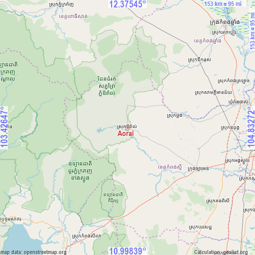
Aoral GPS coordinates[2]
11° 41' 16.008" North, 104° 7' 46.524" East
| Map corner | latitude | longitude |
|---|---|---|
| Upper-left | 12.37545°, | 103.42647° |
| Center: | 11.68778°, | 104.12959° |
| Lower-right: | 10.99839°, | 104.83272° |
| Map W x H: | 153.1×153.1 km | = 95.1×95.1mi |
| max Lat: | 14.23223° ⇑60.6% North |
| Aoral: | 11.68778° |
| min Lat: | ⇓39.4% South 10.48291° |
| min Long | Aoral | max Long |
| 102.37574° | 104.12959° | 107.42393° |
| W 36.4%⇐ | ⇒63.6% E |
Elevation
Elevation of Aoral is 79 m = 259 ft, and this is 27 m = 89 ft above average elevation for this country.
| Max E: |
678 m = 2224 ft | 15.9% |
| Aoral | 79 m 259 ft | |
| Avg. | 52 m = 171 ft | |
Min E: |
4 m = 13 ft | 84.1% |
See also: Cambodia elevation on elevation.city.
Geographical zone
Aoral is located in North Torrid zone (between Equator and Tropic of Cancer). Distance of Equator is 1299.6 km =807.5 mi to South.| Distance of | km | miles | from Aoral |
|---|---|---|---|
| North Pole | 8707.5 | 5410.6 | to North |
| Arctic Circle | 6101.6 | 3791.4 | to North |
| Tropic Cancer | 1306.4 | 811.8 | to North |
| Equator | 1299.6 | 807.5 | to South |


Nearby cities:
15 places around Aoral: (largest is in red/bold)
• Basedth
74.5 km =46.3 mi,  143°
143°
• Dangkao
80.3 km =49.9 mi,  100°
100°
• Kampong Chhnang
85.6 km =53.2 mi,  43°
43°
• Kampong Seila
70.8 km =44 mi,  200°
200°
• Kampong Speu
50 km =31.1 mi,  121°
121°
• Kandal Stueng
81.8 km =50.8 mi,  111°
111°
• Odongk
62.1 km =38.6 mi,  90°
90°
• Phnom Penh
86.8 km =53.9 mi, 99°
• Phnum Kravanh
83.5 km =51.9 mi,  332°
332°
• Phnum Sruoch
42.8 km =26.6 mi, 141°
• Ponhea Lueu
80.4 km =50 mi, 92°
• Ruessei Kaev
85.2 km =52.9 mi, 94°
• Srae Ambel
75.1 km =46.7 mi,  213°
213°
• Thma Bang
65.7 km =40.8 mi,  264°
264°
• Thpong
33.2 km =20.6 mi,  77°
77°
Sources, notices
• [Note1] Compared only with cities in Cambodia existing in our database
• [Src1] Map data: © OpenStreetMap contributors (CC-BY-SA)
• [Src2] Other city data from geonames.org with taken over terms of usage.
• [Src3] Geographical zone / Annual Mean Temperature by Robert A. Rohde @ Wikipedia
