Lieģi geodata
Lieģi (Durbe) is a seat of a first-order administrative division; located in Latvia in Europe/Riga (GMT+3) time zone. In our database, there are 110 cities with bigger population. Compared to other cities in Latvia, 74.3% of cities are located further ↑North; 95.7% of cities are located further →East and 58.6% of cities have higher elevation than Lieģi. Note1


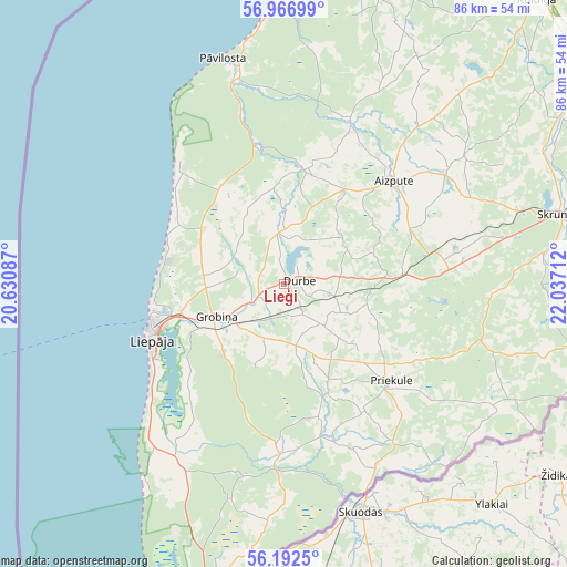
Lieģi GPS coordinates[2]
56° 34' 54.228" North, 21° 20' 2.364" East
| Map corner | latitude | longitude |
|---|---|---|
| Upper-left | 56.96699°, | 20.63087° |
| Center: | 56.58173°, | 21.33399° |
| Lower-right: | 56.1925°, | 22.03712° |
| Map W x H: | 86.1×86.1 km | = 53.5×53.5mi |
| max Lat: | 57.89752° ⇑74.3% North |
| Lieģi: | 56.58173° |
| min Lat: | ⇓25.7% South 55.75284° |
| min Long | Lieģi | max Long |
| 21.01085° | 21.33399° | 28.12165° |
| W 4.3%⇐ | ⇒95.7% E |
Elevation
Elevation of Lieģi is 47 m = 154 ft, and this is 18.4 m = 60 ft below average elevation for this country.
| Max E: |
212 m = 696 ft | 58.6% |
| Avg. | 65.4 m = 215 ft | |
| Lieģi | 47 m = 154 ft | |
Min E: |
2 m = 7 ft | 41.4% |
See also: Latvia elevation on elevation.city.
Geographical zone
Lieģi is located in North temperate zone (between Tropic of Cancer and the Arctic Circle). Distance of this North polar circle is 1109.9 km =689.7 mi to North.| Distance of | km | miles | from Lieģi |
|---|---|---|---|
| North Pole | 3715.8 | 2308.9 | to North |
| Arctic Circle | 1109.9 | 689.7 | to North |
| Tropic Cancer | 3685.4 | 2290 | to South |
| Equator | 6291.3 | 3909.2 | to South |


Nearby cities:
15 places around Lieģi: (largest is in red/bold)
• Aizpute
22.5 km =14 mi,  46°
46°
• Alsunga
46.6 km =29 mi,  17°
17°
• Grobiņa
11.4 km =7.1 mi,  243°
243°
• Karosta
20 km =12.4 mi,  260°
260°
• Kuldīga
57.8 km =35.9 mi,  41°
41°
• Liepāja
21.6 km =13.4 mi,  246°
246°
• Nīca
31 km =19.3 mi,  212°
212°
• Piltene
74.4 km =46.2 mi, 16°
• Priekule
21.7 km =13.5 mi,  133°
133°
• Pāvilosta
35.2 km =21.9 mi,  345°
345°
• Rucava
47.7 km =29.6 mi,  192°
192°
• Saldus
71.2 km =44.2 mi,  82°
82°
• Skrunda
43.1 km =26.8 mi, 75°
• Vaiņode
36.7 km =22.8 mi,  119°
119°
• Ēdole
53.4 km =33.2 mi, 24°
Sources, notices
• [Note1] Compared only with cities in Latvia existing in our database
• [Src1] Map data: © OpenStreetMap contributors (CC-BY-SA)
• [Src2] Other city data from geonames.org with taken over terms of usage.
• [Src3] Geographical zone / Annual Mean Temperature by Robert A. Rohde @ Wikipedia
