Grobiņa geodata
Grobiņa is a seat of a first-order administrative division; located in Latvia in Europe/Riga (GMT+3) time zone. With population of 4,203 people, there are 39 cities with bigger population in this country. Compared to other cities in Latvia, 77.9% of cities are located further ↑North; 97.1% of cities are located further →East and 71.4% of cities have higher elevation than Grobiņa. Note1


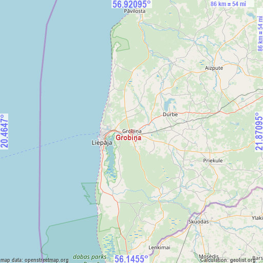
Grobiņa GPS coordinates[2]
56° 32' 6.756" North, 21° 10' 4.152" East
| Map corner | latitude | longitude |
|---|---|---|
| Upper-left | 56.92095°, | 20.4647° |
| Center: | 56.53521°, | 21.16782° |
| Lower-right: | 56.1455°, | 21.87095° |
| Map W x H: | 86.2×86.2 km | = 53.6×53.6mi |
| max Lat: | 57.89752° ⇑77.9% North |
| Grobiņa: | 56.53521° |
| min Lat: | ⇓22.1% South 55.75284° |
| min Long | Grobiņa | max Long |
| 21.01085° | 21.16782° | 28.12165° |
| W 2.9%⇐ | ⇒97.1% E |
Elevation
Elevation of Grobiņa is 24 m = 79 ft, and this is 41.4 m = 136 ft below average elevation for this country.
| Max E: |
212 m = 696 ft | 71.4% |
| Avg. | 65.4 m = 215 ft | |
| Grobiņa | 24 m = 79 ft | |
Min E: |
2 m = 7 ft | 28.6% |
See also: Latvia elevation on elevation.city.
Geographical zone
Grobiņa is located in North temperate zone (between Tropic of Cancer and the Arctic Circle). Distance of this North polar circle is 1115 km =692.8 mi to North.| Distance of | km | miles | from Grobiņa |
|---|---|---|---|
| North Pole | 3720.9 | 2312.1 | to North |
| Arctic Circle | 1115 | 692.8 | to North |
| Tropic Cancer | 3680.2 | 2286.8 | to South |
| Equator | 6286.1 | 3906 | to South |


Nearby cities:
15 places around Grobiņa: (largest is in red/bold)
• Aizpute
33.6 km =20.9 mi,  52°
52°
• Alsunga
55.1 km =34.2 mi,  25°
25°
• Karosta
9.7 km =6 mi,  280°
280°
• Kuldīga
68.5 km =42.6 mi,  44°
44°
• Liepāja
10.2 km =6.3 mi,  250°
250°
• Lieģi
11.4 km =7.1 mi,  63°
63°
• Nīca
22 km =13.7 mi,  196°
196°
• Piltene
82.6 km =51.3 mi,  21°
21°
• Priekule
27.7 km =17.2 mi,  110°
110°
• Pāvilosta
39.2 km =24.4 mi,  1°
1°
• Rucava
41.4 km =25.7 mi,  180°
180°
• Saldus
82.1 km =51 mi,  79°
79°
• Skrunda
54.3 km =33.7 mi,  73°
73°
• Vaiņode
44.1 km =27.4 mi, 107°
• Ēdole
62.7 km =39 mi, 30°
Sources, notices
• [Note1] Compared only with cities in Latvia existing in our database
• [Src1] Map data: © OpenStreetMap contributors (CC-BY-SA)
• [Src2] Other city data from geonames.org with taken over terms of usage.
• [Src3] Geographical zone / Annual Mean Temperature by Robert A. Rohde @ Wikipedia
