Idrī geodata
Idrī (Ash Shāţiʼ) is a seat of a first-order administrative division; located in Libya in Africa/Tripoli (GMT+2) time zone. With population of 4,611 people, there are 48 cities with bigger population in this country. Compared to other cities in Libya, 84.9% of cities are located further ↑North; 67.9% of cities are located further →East and 67.9% of cities have lower elevation than Idrī. Note1


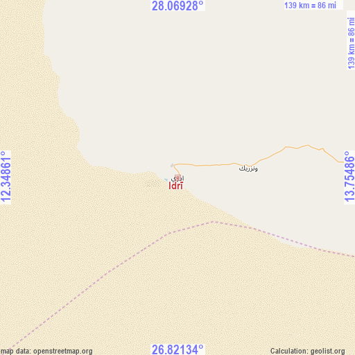
Idrī GPS coordinates[2]
27° 26' 49.452" North, 13° 3' 6.228" East
| Map corner | latitude | longitude |
|---|---|---|
| Upper-left | 28.06928°, | 12.34861° |
| Center: | 27.44707°, | 13.05173° |
| Lower-right: | 26.82134°, | 13.75486° |
| Map W x H: | 138.8×138.8 km | = 86.2×86.2mi |
| max Lat: | 32.94699° ⇑84.9% North |
| Idrī: | 27.44707° |
| min Lat: | ⇓15.1% South 24.1989° |
| min Long | Idrī | max Long |
| 9.50072° | 13.05173° | 25.0866° |
| W 32.1%⇐ | ⇒67.9% E |
Elevation
Elevation of Idrī is 355 m = 1165 ft, and this is 122.8 m = 403 ft above average elevation for this country.
| Max E: |
704 m = 2310 ft | 32.1% |
| Idrī | 355 m 1165 ft | |
| Avg. | 232.2 m = 762 ft | |
Min E: |
3 m = 10 ft | 67.9% |
See also: Libya elevation on elevation.city.
Geographical zone
Idrī is located in North temperate zone (between Tropic of Cancer and the Arctic Circle). Distance of this Northern Tropic circle is 445.9 km =277.1 mi to South.| Distance of | km | miles | from Idrī |
|---|---|---|---|
| North Pole | 6955.2 | 4321.8 | to North |
| Arctic Circle | 4349.3 | 2702.5 | to North |
| Tropic Cancer | 445.9 | 277.1 | to South |
| Equator | 3051.8 | 1896.3 | to South |


Nearby cities:
9 places around Idrī: (largest is in red/bold)
• Al Jadīd
140.4 km =87.2 mi,  108°
108°
• Al Qaţrūn
320 km =198.8 mi,  150°
150°
• Brak
120.8 km =75.1 mi,  84°
84°
• Ghat
397.9 km =247.2 mi,  226°
226°
• Hūn
339.5 km =211 mi,  56°
56°
• Murzuq
190.8 km =118.6 mi, 153°
• Sabhā
143.5 km =89.2 mi, 108°
• Ubari
99.1 km =61.6 mi,  196°
196°
• Waddān
357.3 km =222 mi, 57°
Sources, notices
• [Note1] Compared only with cities in Libya existing in our database
• [Src1] Map data: © OpenStreetMap contributors (CC-BY-SA)
• [Src2] Other city data from geonames.org with taken over terms of usage.
• [Src3] Geographical zone / Annual Mean Temperature by Robert A. Rohde @ Wikipedia
