Hūn geodata
Hūn (Al Jufrah) is a seat of a first-order administrative division; located in Libya in Africa/Tripoli (GMT+2) time zone. With population of 18,878 people, there are 38 cities with bigger population in this country. Compared to other cities in Libya, 77.4% of cities are located further ↑North; 58.5% of cities are located further ←West and 56.6% of cities have lower elevation than Hūn. Note1


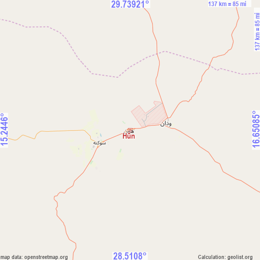
Hūn GPS coordinates[2]
29° 7' 36.624" North, 15° 56' 51.792" East
| Map corner | latitude | longitude |
|---|---|---|
| Upper-left | 29.73921°, | 15.2446° |
| Center: | 29.12684°, | 15.94772° |
| Lower-right: | 28.5108°, | 16.65085° |
| Map W x H: | 136.6×136.6 km | = 84.9×84.9mi |
| max Lat: | 32.94699° ⇑77.4% North |
| Hūn: | 29.12684° |
| min Lat: | ⇓22.6% South 24.1989° |
| min Long | Hūn | max Long |
| 9.50072° | 15.94772° | 25.0866° |
| W 58.5%⇐ | ⇒41.5% E |
Elevation
Elevation of Hūn is 260 m = 853 ft, and this is 27.8 m = 91 ft above average elevation for this country.
| Max E: |
704 m = 2310 ft | 43.4% |
| Hūn | 260 m 853 ft | |
| Avg. | 232.2 m = 762 ft | |
Min E: |
3 m = 10 ft | 56.6% |
See also: Libya elevation on elevation.city.
Geographical zone
Hūn is located in North temperate zone (between Tropic of Cancer and the Arctic Circle). Distance of this Northern Tropic circle is 632.7 km =393.1 mi to South.| Distance of | km | miles | from Hūn |
|---|---|---|---|
| North Pole | 6768.5 | 4205.7 | to North |
| Arctic Circle | 4162.6 | 2586.5 | to North |
| Tropic Cancer | 632.7 | 393.1 | to South |
| Equator | 3238.6 | 2012.4 | to South |


Nearby cities:
15 places around Hūn: (largest is in red/bold)
• Al Burayqah
377.8 km =234.8 mi,  67°
67°
• Al Jadīd
276.4 km =171.7 mi,  213°
213°
• Al Khums
423.3 km =263 mi,  337°
337°
• Bani Walid
346.7 km =215.4 mi,  327°
327°
• Brak
240.1 km =149.2 mi,  223°
223°
• Idrī
339.5 km =211 mi,  236°
236°
• Marādah
316.3 km =196.5 mi,  88°
88°
• Mizdah
384.1 km =238.7 mi,  312°
312°
• Mişrātah
370.3 km =230.1 mi,  347°
347°
• Murzuq
409.3 km =254.3 mi, 209°
• Qasr Abu Hadi
225.5 km =140.1 mi,  17°
17°
• Sabhā
276 km =171.5 mi, 212°
• Sirte
239.6 km =148.9 mi,  14°
14°
• Waddān
19 km =11.8 mi,  78°
78°
• Zliten
394.1 km =244.9 mi, 340°
Sources, notices
• [Note1] Compared only with cities in Libya existing in our database
• [Src1] Map data: © OpenStreetMap contributors (CC-BY-SA)
• [Src2] Other city data from geonames.org with taken over terms of usage.
• [Src3] Geographical zone / Annual Mean Temperature by Robert A. Rohde @ Wikipedia
