Santa Martha geodata
Santa Martha (San Luis Potosí) is a populated place; located in Mexico in America/Mexico_City (GMT-6) time zone. With population of 2,374 people, there are 3720 cities with bigger population in this country. Compared to other cities in Mexico, 85.9% of cities are located further ↓South; 55% of cities are located further ←West and 80% of cities have higher elevation than Santa Martha. Note1


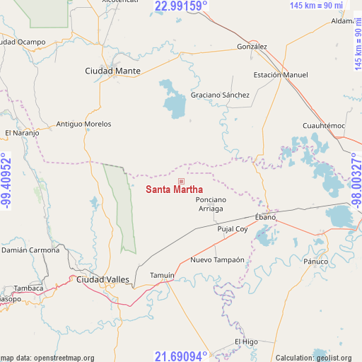
Santa Martha GPS coordinates[2]
22° 20' 34.008" North, 98° 42' 23.004" West
| Map corner | latitude | longitude |
|---|---|---|
| Upper-left | 22.99159°, | -99.40952° |
| Center: | 22.34278°, | -98.70639° |
| Lower-right: | 21.69094°, | -98.00327° |
| Map W x H: | 144.6×144.6 km | = 89.9×89.9mi |
| max Lat: | 32.7° ⇑14.1% North |
| Santa Martha: | 22.34278° |
| min Lat: | ⇓85.9% South 14.53588° |
| min Long | Santa Martha | max Long |
| -117.105° | -98.70639° | -86.73105° |
| W 55%⇐ | ⇒45% E |
Elevation
Elevation of Santa Martha is 95 m = 312 ft, and this is 1158.7 m = 3802 ft below average elevation for this country.
| Max E: |
3497 m = 11473 ft | 80% |
| Avg. | 1253.7 m = 4113 ft | |
| Santa Martha | 95 m = 312 ft | |
Min E: |
-1 m = -3 ft | 20% |
See also: Mexico elevation on elevation.city.
Geographical zone
Santa Martha is located in North Torrid zone (between Equator and Tropic of Cancer). Distance of this Northern Tropic circle is 121.6 km =75.6 mi to North.| Distance of | km | miles | from Santa Martha |
|---|---|---|---|
| North Pole | 7522.8 | 4674.4 | to North |
| Arctic Circle | 4916.9 | 3055.2 | to North |
| Tropic Cancer | 121.6 | 75.6 | to North |
| Equator | 2484.3 | 1543.7 | to South |


Nearby cities:
15 places around Santa Martha: (largest is in red/bold)
• Aurelio Manrique
8.4 km =5.2 mi,  137°
137°
• División del Norte
17.8 km =11.1 mi,  288°
288°
• El Camotero Dos
24.6 km =15.3 mi,  8°
8°
• Emiliano Zapata
22.8 km =14.2 mi,  213°
213°
• Estación Velazco
22.3 km =13.9 mi, 138°
• Guayalejo
23.4 km =14.5 mi,  78°
78°
• Los Aztecas
20 km =12.4 mi,  28°
28°
• Magdaleno Aguilar
9.7 km =6 mi,  0°
0°
• Nueva Apolonia
18.9 km =11.7 mi,  24°
24°
• Nuevo Aquismón
11.8 km =7.3 mi,  260°
260°
• Nuevo Tantoán
17 km =10.6 mi,  56°
56°
• Plan de Ayala
22.8 km =14.2 mi,  344°
344°
• Ponciano Arriaga
15 km =9.3 mi,  126°
126°
• Pujal-Coy
27.8 km =17.3 mi, 131°
• Tantoyuquita
27.2 km =16.9 mi,  35°
35°
Sources, notices
• [Note1] Compared only with cities in Mexico existing in our database
• [Src1] Map data: © OpenStreetMap contributors (CC-BY-SA)
• [Src2] Other city data from geonames.org with taken over terms of usage.
• [Src3] Geographical zone / Annual Mean Temperature by Robert A. Rohde @ Wikipedia
