Los Cerritos geodata
Los Cerritos (Veracruz) is a populated place; located in Mexico in America/Mexico_City (GMT-6) time zone. With population of 1,670 people, there are 5205 cities with bigger population in this country. Compared to other cities in Mexico, 77.8% of cities are located further ↑North; 85.3% of cities are located further ←West and 93.5% of cities have higher elevation than Los Cerritos. Note1


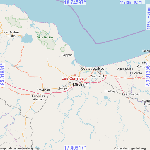
Los Cerritos GPS coordinates[2]
18° 4' 43.824" North, 94° 37' 0.048" West
| Map corner | latitude | longitude |
|---|---|---|
| Upper-left | 18.74597°, | -95.31981° |
| Center: | 18.07884°, | -94.61668° |
| Lower-right: | 17.40917°, | -93.91356° |
| Map W x H: | 148.6×148.6 km | = 92.3×92.3mi |
| max Lat: | 32.7° ⇑77.8% North |
| Los Cerritos: | 18.07884° |
| min Lat: | ⇓22.2% South 14.53588° |
| min Long | Los Cerritos | max Long |
| -117.105° | -94.61668° | -86.73105° |
| W 85.3%⇐ | ⇒14.7% E |
Elevation
Elevation of Los Cerritos is 16 m = 52 ft, and this is 1237.7 m = 4061 ft below average elevation for this country.
| Max E: |
3497 m = 11473 ft | 93.5% |
| Avg. | 1253.7 m = 4113 ft | |
| Los Cerritos | 16 m = 52 ft | |
Min E: |
-1 m = -3 ft | 6.5% |
See also: Mexico elevation on elevation.city.
Geographical zone
Los Cerritos is located in North Torrid zone (between Equator and Tropic of Cancer). Distance of this Northern Tropic circle is 595.7 km =370.2 mi to North.| Distance of | km | miles | from Los Cerritos |
|---|---|---|---|
| North Pole | 7996.9 | 4969 | to North |
| Arctic Circle | 5391 | 3349.8 | to North |
| Tropic Cancer | 595.7 | 370.2 | to North |
| Equator | 2010.2 | 1249.1 | to South |


Nearby cities:
15 places around Los Cerritos: (largest is in red/bold)
• Barrancas
3.3 km =2.1 mi,  108°
108°
• Chacalapa
9.1 km =5.7 mi,  269°
269°
• Chinameca
9.2 km =5.7 mi,  226°
226°
• Colonia Luis Donaldo Colosio
9.6 km =6 mi,  176°
176°
• Cosoleacaque
9.1 km =5.7 mi,  192°
192°
• El Naranjito
9.1 km =5.7 mi,  173°
173°
• Fraccionamiento Ciudad Olmeca
10.5 km =6.5 mi,  40°
40°
• Hermenegildo J. Aldana
8.1 km =5 mi, 176°
• José F. Gutiérrez
6 km =3.7 mi, 173°
• La Esperanza
6.1 km =3.8 mi, 168°
• Las Jacarandas
8.5 km =5.3 mi, 175°
• Mapachapa
7.6 km =4.7 mi,  136°
136°
• Minatitlán
10.8 km =6.7 mi, 144°
• Oteapan
10 km =6.2 mi,  211°
211°
• Residencial las Olas
6.9 km =4.3 mi,  50°
50°
Sources, notices
• [Note1] Compared only with cities in Mexico existing in our database
• [Src1] Map data: © OpenStreetMap contributors (CC-BY-SA)
• [Src2] Other city data from geonames.org with taken over terms of usage.
• [Src3] Geographical zone / Annual Mean Temperature by Robert A. Rohde @ Wikipedia
