El Carmelo geodata
El Carmelo (Chiapas) is a populated place; located in Mexico in America/Mexico_City (GMT-6) time zone. With population of 730 people, there are 11957 cities with bigger population in this country. Compared to other cities in Mexico, 89.9% of cities are located further ↑North; 88% of cities are located further ←West and 62.6% of cities have higher elevation than El Carmelo. Note1


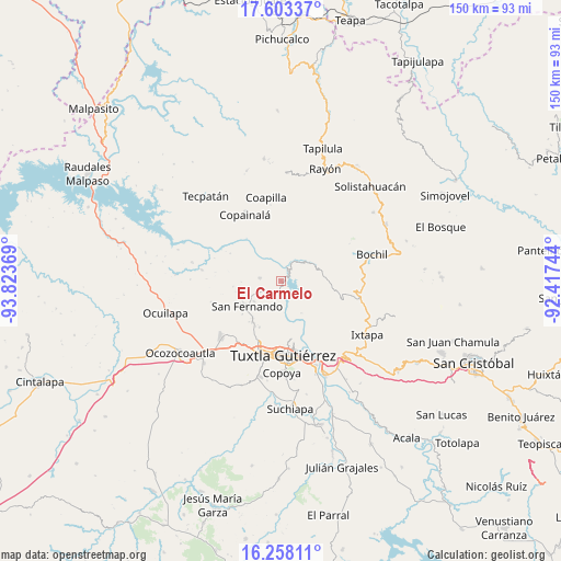
El Carmelo GPS coordinates[2]
16° 55' 54.984" North, 93° 7' 14.016" West
| Map corner | latitude | longitude |
|---|---|---|
| Upper-left | 17.60337°, | -93.82369° |
| Center: | 16.93194°, | -93.12056° |
| Lower-right: | 16.25811°, | -92.41744° |
| Map W x H: | 149.6×149.6 km | = 93×93mi |
| max Lat: | 32.7° ⇑89.9% North |
| El Carmelo: | 16.93194° |
| min Lat: | ⇓10.1% South 14.53588° |
| min Long | El Carmelo | max Long |
| -117.105° | -93.12056° | -86.73105° |
| W 88%⇐ | ⇒12% E |
Elevation
Elevation of El Carmelo is 847 m = 2779 ft, and this is 406.7 m = 1334 ft below average elevation for this country.
| Max E: |
3497 m = 11473 ft | 62.6% |
| Avg. | 1253.7 m = 4113 ft | |
| El Carmelo | 847 m = 2779 ft | |
Min E: |
-1 m = -3 ft | 37.4% |
See also: Mexico elevation on elevation.city.
Geographical zone
El Carmelo is located in North Torrid zone (between Equator and Tropic of Cancer). Distance of this Northern Tropic circle is 723.3 km =449.4 mi to North.| Distance of | km | miles | from El Carmelo |
|---|---|---|---|
| North Pole | 8124.4 | 5048.3 | to North |
| Arctic Circle | 5518.5 | 3429 | to North |
| Tropic Cancer | 723.3 | 449.4 | to North |
| Equator | 1882.7 | 1169.9 | to South |


Nearby cities:
15 places around El Carmelo: (largest is in red/bold)
• Benito Juárez
9.1 km =5.7 mi,  233°
233°
• Chicoasén
4.2 km =2.6 mi,  23°
23°
• Cuauhtémoc
10.7 km =6.6 mi,  269°
269°
• El Copalar
11.7 km =7.3 mi,  238°
238°
• El Portillo
12.8 km =8 mi, 236°
• El Progreso
12.4 km =7.7 mi, 240°
• Francisco I. Madero
12.1 km =7.5 mi, 237°
• Francisco Sarabia
11.5 km =7.1 mi,  82°
82°
• Gabriel Esquinca
5.9 km =3.7 mi,  279°
279°
• Libertad Campesina
11 km =6.8 mi,  122°
122°
• Osumacinta
3.3 km =2.1 mi, 81°
• San Antonio Zaragoza
9.4 km =5.8 mi,  98°
98°
• San Fernando
11.4 km =7.1 mi, 234°
• Triunfo Agrarista
10.1 km =6.3 mi,  148°
148°
• Álvaro Obregón
12.5 km =7.8 mi,  218°
218°
Sources, notices
• [Note1] Compared only with cities in Mexico existing in our database
• [Src1] Map data: © OpenStreetMap contributors (CC-BY-SA)
• [Src2] Other city data from geonames.org with taken over terms of usage.
• [Src3] Geographical zone / Annual Mean Temperature by Robert A. Rohde @ Wikipedia
