Cocohital geodata
Cocohital (Tabasco) is a populated place; located in Mexico in America/Mexico_City (GMT-6) time zone. With population of 2,674 people, there are 3308 cities with bigger population in this country. Compared to other cities in Mexico, 73.9% of cities are located further ↑North; 87% of cities are located further ←West and 97% of cities have higher elevation than Cocohital. Note1


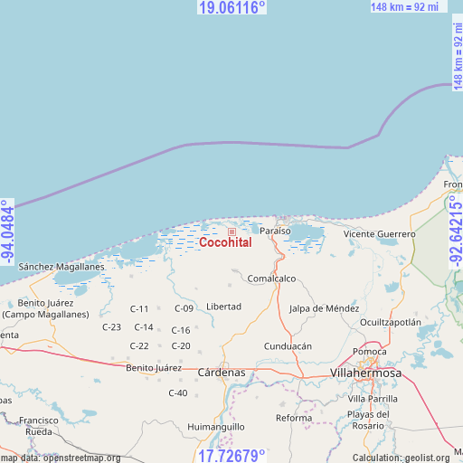
Cocohital GPS coordinates[2]
18° 23' 42.972" North, 93° 20' 42.972" West
| Map corner | latitude | longitude |
|---|---|---|
| Upper-left | 19.06116°, | -94.0484° |
| Center: | 18.39527°, | -93.34527° |
| Lower-right: | 17.72679°, | -92.64215° |
| Map W x H: | 148.4×148.4 km | = 92.2×92.2mi |
| max Lat: | 32.7° ⇑73.9% North |
| Cocohital: | 18.39527° |
| min Lat: | ⇓26.1% South 14.53588° |
| min Long | Cocohital | max Long |
| -117.105° | -93.34527° | -86.73105° |
| W 87%⇐ | ⇒13% E |
Elevation
Elevation of Cocohital is 10 m = 33 ft, and this is 1243.7 m = 4080 ft below average elevation for this country.
| Max E: |
3497 m = 11473 ft | 97% |
| Avg. | 1253.7 m = 4113 ft | |
| Cocohital | 10 m = 33 ft | |
Min E: |
-1 m = -3 ft | 3% |
See also: Mexico elevation on elevation.city.
Geographical zone
Cocohital is located in North Torrid zone (between Equator and Tropic of Cancer). Distance of this Northern Tropic circle is 560.6 km =348.3 mi to North.| Distance of | km | miles | from Cocohital |
|---|---|---|---|
| North Pole | 7961.7 | 4947.2 | to North |
| Arctic Circle | 5355.8 | 3327.9 | to North |
| Tropic Cancer | 560.6 | 348.3 | to North |
| Equator | 2045.4 | 1271 | to South |


Nearby cities:
15 places around Cocohital: (largest is in red/bold)
• Betania
13.1 km =8.1 mi,  168°
168°
• El Escribano
13.1 km =8.1 mi,  82°
82°
• El Tortuguero
11 km =6.8 mi,  144°
144°
• Francisco I. Madero
15.5 km =9.6 mi,  113°
113°
• Guayo 3ra. Sección
14.5 km =9 mi,  233°
233°
• Ignacio Zaragoza 1ra. Sección
7.2 km =4.5 mi, 171°
• La Unión 1ra. Sección (Amatillo)
5.5 km =3.4 mi,  36°
36°
• Lázaro Cárdenas 2da. Sección (El Retiro)
15.8 km =9.8 mi,  239°
239°
• Miguel Hidalgo
15.8 km =9.8 mi, 166°
• Occidente (San Francisco)
12.1 km =7.5 mi,  125°
125°
• Occidente 4ta. Sección
15.6 km =9.7 mi, 130°
• Paraiso
13.9 km =8.6 mi,  87°
87°
• Quintín Arauz
13.6 km =8.5 mi,  100°
100°
• Transito Tular
8.8 km =5.5 mi,  223°
223°
• Villa Tecolutilla
12.5 km =7.8 mi, 174°
Sources, notices
• [Note1] Compared only with cities in Mexico existing in our database
• [Src1] Map data: © OpenStreetMap contributors (CC-BY-SA)
• [Src2] Other city data from geonames.org with taken over terms of usage.
• [Src3] Geographical zone / Annual Mean Temperature by Robert A. Rohde @ Wikipedia
