El Jagüey Grande geodata
El Jagüey Grande (Querétaro) is a populated place; located in Mexico in America/Mexico_City (GMT-6) time zone. With population of 812 people, there are 10760 cities with bigger population in this country. Compared to other cities in Mexico, 72.2% of cities are located further ↓South; 62.8% of cities are located further →East and 77.6% of cities have lower elevation than El Jagüey Grande. Note1


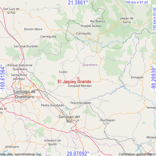
El Jagüey Grande GPS coordinates[2]
20° 43' 47.784" North, 99° 54' 45.036" West
| Map corner | latitude | longitude |
|---|---|---|
| Upper-left | 21.3861°, | -100.61564° |
| Center: | 20.72994°, | -99.91251° |
| Lower-right: | 20.07092°, | -99.20939° |
| Map W x H: | 146.2×146.2 km | = 90.8×90.8mi |
| max Lat: | 32.7° ⇑27.8% North |
| El Jagüey Grande: | 20.72994° |
| min Lat: | ⇓72.2% South 14.53588° |
| min Long | El Jagüey Gran | max Long |
| -117.105° | -99.91251° | -86.73105° |
| W 37.2%⇐ | ⇒62.8% E |
Elevation
Elevation of El Jagüey Grande is 2080 m = 6824 ft, and this is 826.3 m = 2711 ft above average elevation for this country.
| Max E: |
3497 m = 11473 ft | 22.4% |
| El Jagüey Grande | 2080 m 6824 ft | |
| Avg. | 1253.7 m = 4113 ft | |
Min E: |
-1 m = -3 ft | 77.6% |
See also: Mexico elevation on elevation.city.
Geographical zone
El Jagüey Grande is located in North Torrid zone (between Equator and Tropic of Cancer). Distance of this Northern Tropic circle is 301 km =187 mi to North.| Distance of | km | miles | from El Jagüey Grande |
|---|---|---|---|
| North Pole | 7702.1 | 4785.9 | to North |
| Arctic Circle | 5096.2 | 3166.6 | to North |
| Tropic Cancer | 301 | 187 | to North |
| Equator | 2305 | 1432.3 | to South |


Nearby cities:
15 places around El Jagüey Grande: (largest is in red/bold)
• Alfredo V. Bonfil (Los Pérez)
5.4 km =3.4 mi,  138°
138°
• Bernal
3.2 km =2 mi,  291°
291°
• Boxasní
9.3 km =5.8 mi,  134°
134°
• Ezequiel Montes
7.4 km =4.6 mi,  169°
169°
• La Providencia (Las Norbertas)
8.4 km =5.2 mi,  161°
161°
• La Purísima
6.2 km =3.9 mi,  181°
181°
• Los Benitos
6.7 km =4.2 mi,  222°
222°
• Puerto de Chiquihuite
8.7 km =5.4 mi,  111°
111°
• San Antonio de la Cal
4.9 km =3 mi,  327°
327°
• San José del Jagüey
1.5 km =0.9 mi,  303°
303°
• San Martín
6.6 km =4.1 mi,  263°
263°
• San Martín Florida
9.6 km =6 mi,  71°
71°
• Santa Rosa Finca
8.8 km =5.5 mi, 219°
• Tunas Blancas
4.3 km =2.7 mi,  117°
117°
• Zituní
8.8 km =5.5 mi,  102°
102°
Sources, notices
• [Note1] Compared only with cities in Mexico existing in our database
• [Src1] Map data: © OpenStreetMap contributors (CC-BY-SA)
• [Src2] Other city data from geonames.org with taken over terms of usage.
• [Src3] Geographical zone / Annual Mean Temperature by Robert A. Rohde @ Wikipedia
