San José las Lomas geodata
San José las Lomas (State of Mexico) is a populated place; located in Mexico in America/Mexico_City (GMT-6) time zone. With population of 1,448 people, there are 5958 cities with bigger population in this country. Compared to other cities in Mexico, 54.5% of cities are located further ↑North; 59.8% of cities are located further →East and 95.4% of cities have lower elevation than San José las Lomas. Note1


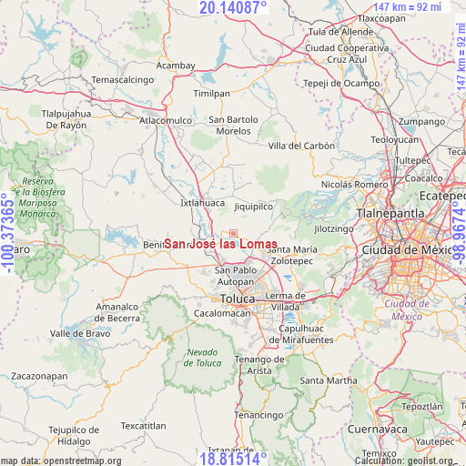
San José las Lomas GPS coordinates[2]
19° 28' 45.696" North, 99° 40' 13.872" West
| Map corner | latitude | longitude |
|---|---|---|
| Upper-left | 20.14087°, | -100.37365° |
| Center: | 19.47936°, | -99.67052° |
| Lower-right: | 18.81514°, | -98.9674° |
| Map W x H: | 147.4×147.4 km | = 91.6×91.6mi |
| max Lat: | 32.7° ⇑54.5% North |
| San José las Lomas: | 19.47936° |
| min Lat: | ⇓45.5% South 14.53588° |
| min Long | San José las L | max Long |
| -117.105° | -99.67052° | -86.73105° |
| W 40.2%⇐ | ⇒59.8% E |
Elevation
Elevation of San José las Lomas is 2606 m = 8550 ft, and this is 1352.3 m = 4437 ft above average elevation for this country.
| Max E: |
3497 m = 11473 ft | 4.6% |
| San José las Lomas | 2606 m 8550 ft | |
| Avg. | 1253.7 m = 4113 ft | |
Min E: |
-1 m = -3 ft | 95.4% |
See also: Mexico elevation on elevation.city.
Geographical zone
San José las Lomas is located in North Torrid zone (between Equator and Tropic of Cancer). Distance of this Northern Tropic circle is 440 km =273.4 mi to North.| Distance of | km | miles | from San José las Lomas |
|---|---|---|---|
| North Pole | 7841.2 | 4872.3 | to North |
| Arctic Circle | 5235.3 | 3253.1 | to North |
| Tropic Cancer | 440 | 273.4 | to North |
| Equator | 2165.9 | 1345.8 | to South |


Nearby cities:
15 places around San José las Lomas: (largest is in red/bold)
• Barrio de San Carlos
5.8 km =3.6 mi,  202°
202°
• Calle Real
6.1 km =3.8 mi,  80°
80°
• Cerrito del Panal
6.5 km =4 mi,  70°
70°
• El Jaral
6.5 km =4 mi,  44°
44°
• Loma del Madroño
6.7 km =4.2 mi,  23°
23°
• Portezuelo
5.4 km =3.4 mi,  12°
12°
• San Antonio Bonixi
6.1 km =3.8 mi,  283°
283°
• San Diego Alcalá
6 km =3.7 mi,  121°
121°
• San José Comalco
4.7 km =2.9 mi,  101°
101°
• San José Pathé
6.4 km =4 mi,  139°
139°
• San José la Costa
6 km =3.7 mi,  151°
151°
• San Martín Morelos
6 km =3.7 mi,  347°
347°
• Santa Juana Segunda Sección
6.5 km =4 mi,  253°
253°
• Silverio Galicia García
6.2 km =3.9 mi, 124°
• Tlachaloya
3.5 km =2.2 mi,  165°
165°
Sources, notices
• [Note1] Compared only with cities in Mexico existing in our database
• [Src1] Map data: © OpenStreetMap contributors (CC-BY-SA)
• [Src2] Other city data from geonames.org with taken over terms of usage.
• [Src3] Geographical zone / Annual Mean Temperature by Robert A. Rohde @ Wikipedia
